An increasingly active weather pattern is setting up across all of North Texas, and it looks like we’ll be dealing with rounds of storms not just tomorrow, but off and on through the entire holiday weekend. Along with the severe weather threat, flooding may become a growing concern in some areas as multiple rounds of heavy rain develop over the coming days.
An increasingly active weather pattern is setting up across all of North Texas, and it looks like we’ll be dealing with rounds of storms not just tomorrow, but off and on through the entire holiday weekend. Along with the severe weather threat, flooding may become a growing concern in some areas as multiple rounds of heavy rain develop over the coming days.
Good Monday morning! Hope everyone had a great weekend. We managed to squeeze in some decent weather with only a few isolated showers and storms, plus some beautiful rainbows across North Texas Friday and again Sunday evening. Humidity is already in full force this morning with temperatures holding in the mid to upper 70s.
The main weather-maker is a cold front currently moving into southwestern Kansas. That front will slowly push southeast into North Texas late Tuesday morning through Tuesday evening. As it arrives, expect thunderstorms to rapidly redevelop across the area and track south and east through the evening hours.
 Main threats Tuesday: • Large hail
• Damaging wind gusts
• Very heavy rainfall
• Localized flooding concerns
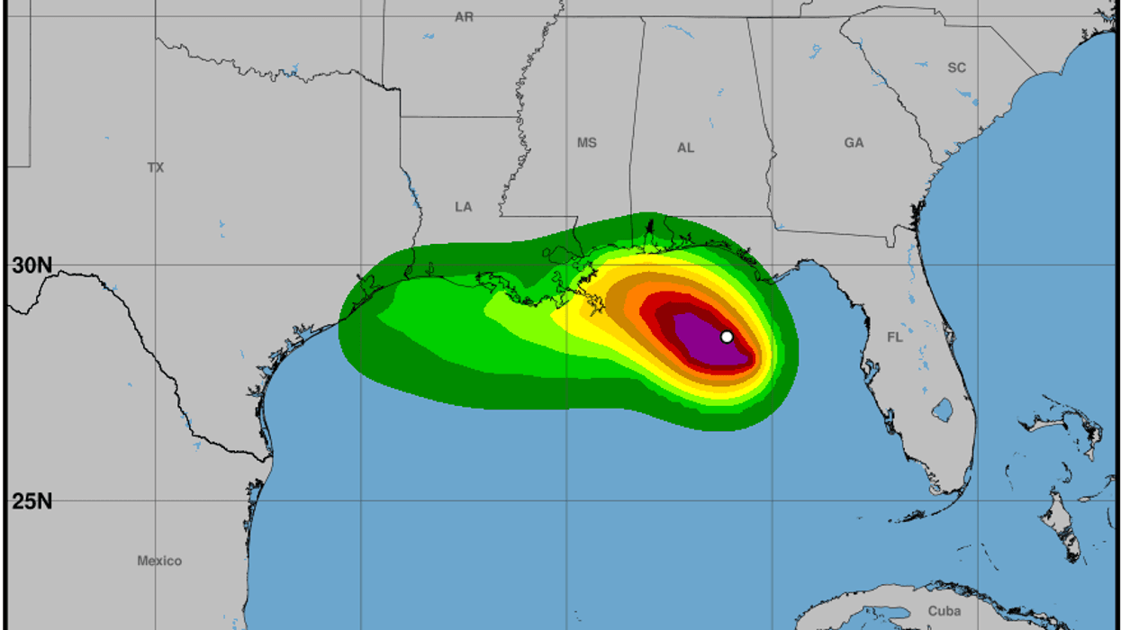
Most areas can expect at least 1 inch of rain, with isolated higher totals likely — especially along and southeast of the Dallas-Fort Worth Metroplex where storms may repeatedly move over the same locations.
The front will likely stall nearby Wednesday, acting as a “railroad track” for additional showers and thunderstorms through Wednesday morning and again later Wednesday into Thursday as another disturbance moves in from the west. Some of this rainfall could be heavy at times depending on where the storm track sets up.
Scattered late day showers and strong storms are possible from Friday through Memorial Day. It won't rain all day-every day. Heed caution on area lakes. Lightning will be a concern as well.
 Temperature outlook: • Near 90° today
• Falling through the 80s Tuesday behind the front
• Upper 70s to near 80° Wednesday and Thursday
• Low to mid 80s Friday
• Mid to upper 80s heading into Memorial Day weekend
By the time we get through the holiday weekend, many locations across North Texas could pick up 2 to 3 inches of rain, with isolated higher amounts possible southeast of DFW.
Enjoy the quieter weather today while you can — because Mother Nature looks ready to stay busy for a while. Stay weather aware this week, especially Tuesday afternoon and evening.
7-Day Headlines:
- DFW Airport hit 88 degrees on Monday
- Last quiet day for a while
- Waves of heavy rain through the week.
- Scattered severe storms on Tuesday
- Stalling cold front
- Flooding potential starts late Wednesday
- Scattered late-day storms Memorial Day weekend
- Download our AUDACY app. Listen to KRLD at home
Almanac:
- Yest Rain: 0.00”; Yest High: 88; Low: 75
- Today’s Averages: High: 84; Low: 65
- Record high: 96 (1956, 2022); Record low 50 (1976)
- May rain: 1.15”; Deficit: <01.79”>
- 2026 Rain: 11.37”; Snow: 2.4” Deficit: <3.08”>
- Sunrise: 6:26am; Sunset: 8:23pm
Forecast:
Monday: Morning clouds, some afternoon sun. Windy, warm and humid. A few passing showers. High: Near 90. Heat index: Upper 90s. Wind: South 15-25, G35 mph.
Monday night: Cloudy, windy and humid. A few overnight showers. Low: Mid 70s. Wind: South 10-20, G30 mph.
Tuesday: Cloudy, breezy and humid. Stalling afternoon cold front. Scattered afternoon and evening showers and storms. Some severe. Threats: Hail and wind. High: Upper 80s. Wind: South 10-20 mph.
Wednesday: Morning storms, then mostly cloudy. A bit cooler. Scattered storms return by late evening. High: Near 80.
Thursday: Cloudy and mild. Scattered showers and storms.Heavy rain possible (especially south and east of DFW). High: Upper 70s.
Friday: Partly cloudy and a tad warmer. Isolated showers and storms. High: Mid 80s.
Saturday and Sunday: Mostly to partly cloudy, warm, humid and breezy. Scattered late day showers and storms. Highs: Mid to upper 80s.
LISTEN on the Audacy App
Tell your Smart Speaker to "PLAY 1080 KRLD"
Sign Up to receive our KRLD Insider Newsletter for more news
Follow us on Facebook | Twitter | Instagram | YouTube