A Winter Storm Warning is in effect through Thursday at 6 p.m. from northwest to southeast across North Texas.
Most of North Texas was seeing sleet early Thursday morning, and a transition to snow is possible by mid-morning. The bulk of the precipitation overnight was freezing rain and sleet. Roads are ice-packed and will stay that way through the day as the precipitation slowly comes to an end from west to east Thursday afternoon. Some snow flurries are possible throughout the day and evening.
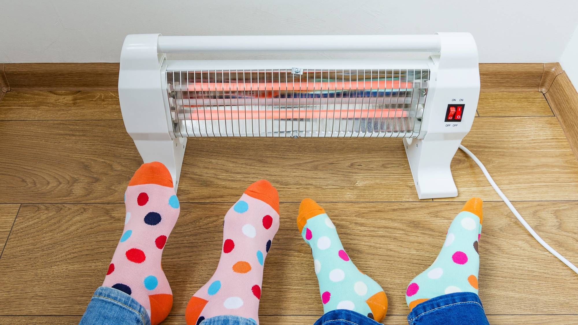
Temperatures were in the low to mid-20s Thursday morning and they'll stay there all day long. Wind chills will be in the single digits to low teens, so please do not venture out unless it's an emergency!
The heaviest snow totals will be west of 35W where 3" to 5" will fall. 2"(Dallas) to 4"(FTW) in the DFW area, and around an inch east of Dallas.
Clouds stick around overnight into Friday morning with lows in the teens and wind chills in the single digits.
Dangerous travel will continue into Friday as we slowly clear out from northwest to southeast. Afternoon highs will only reach the mid to upper 20s and could be colder if the clouds stick around all day.
Saturday morning will be pipe bursting cold, with lows in the single digits. Afternoon sunshine with highs in the low 30s will break up a lot of the ice on the main roads, but it will stay treacherous in the residential areas and in shady areas.
What thaws out Saturday, but leaves residual moisture or slush, will quickly re-freeze overnight into Sunday morning. Lows on Sunday will be in the teens with afternoon highs in the mid to upper 30s. Our warm-up will continue into next week.
7-Day Headlines:
* High yesterday: 59 degrees at DFW.
* Winter Storm Warning until 6pm.
* Mainly sleet falls through noon, flurries this afternoon
* Dangerous driving conditions through Saturday.
* Power outages, dangerous travel, cold and wind chills.
* Warming late weekend into next week.
__________________________________________________________
*Yest Rain: 1.10R"; *Yest High: 59; Low: 31
*Today's Averages: High: 59; Low: 38
*Record high: 84 (1911); Record low: 14 (1905, 1985, 1996)
___________________________________________________________
*February rain: 1.10"; February surplus:
*2022 Rain: 1.18"; 2022 deficit
*Sunrise: 7:21am; Sunset: 6:04pm
**Winter Storm Warning until 6pm today**
Today: Cloudy, windy and VERY cold. Waves of mainly sleet (0.25" - 1.00") through noon. Snow flurries through the rest of the day. High: Low 20s. Wind chills 7-13. Wind: NNW 15-25, G30 mph.
Tonight: Cloudy, windy and VERY cold. Flurries possible until midnight. Low: 11-16. Wind chills near zero. Wind: North: 15-25 mph.
Tomorrow: Decreasing clouds and cold. High: Upper 20s. Wind: North 10-20 mph.
Friday night: Clear and VERY cold. Low: 7-12.
Saturday: Sunny and continued cold. Some improvement to main arteries, interior roads stay dangerous. High: Low to mid 30s.
Sunday: Sunny and a bit warmer, but a COLD start. Road conditions continue to improve after the noon hour. Low: 14-20; High: Mid to upper 30s.
Monday: Sunny and warmer. High: Low to mid 40s.
Tuesday: Sunny and cool. High: Upper 40s.
Wednesday: Sunny, our slow warming trend continues. High: Low 50s.
LISTEN on the Audacy App
Sign Up and Follow NewsRadio 1080 KRLD