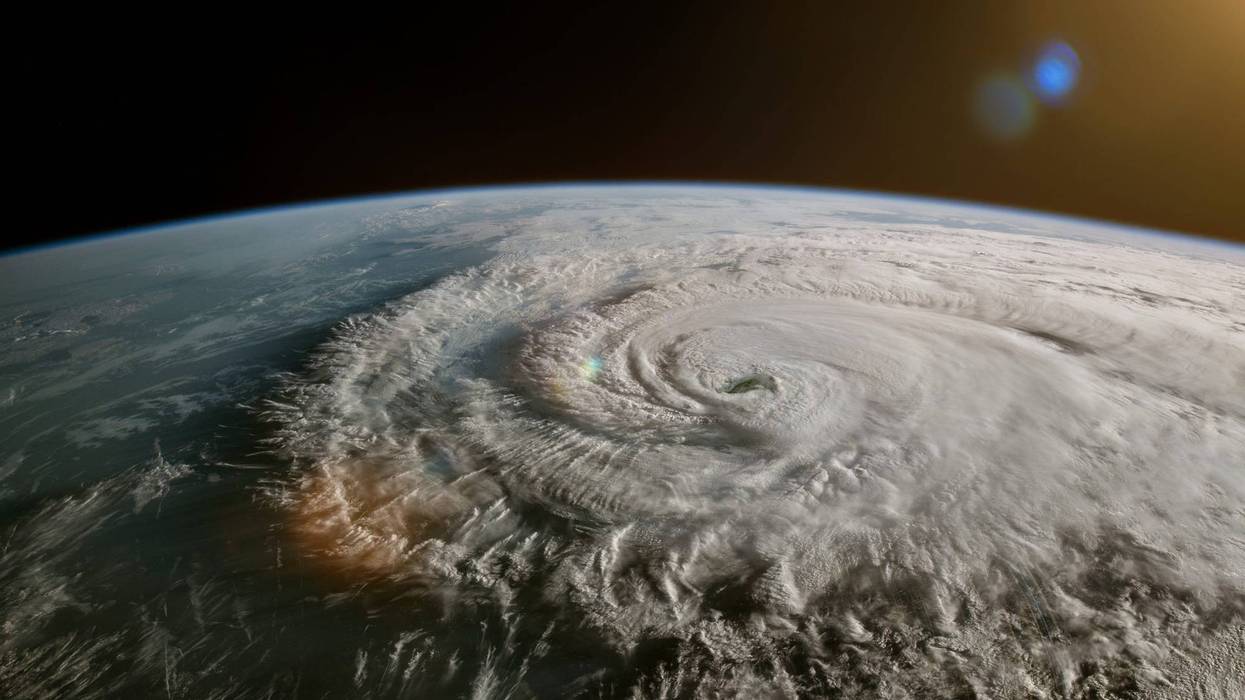
Hurricane Hilary was gaining strength Thursday as it slowly moved northward off the coast of Baja California on a still-uncertain path that will bring heavy rain and potentially flooding to the Los Angeles area, with precipitation possibly beginning as early as Saturday night but peaking Sunday into Monday.
Listen and subscribe to The L.A. Local podcast: your TL;DR for what's happening in Southern California
According to the National Weather Service, temperatures will begin cooling starting Thursday thanks to a growing onshore flow that will deepen the marine layer. Patches of dense fog engulfed some coastal areas Thursday morning, and forecasters said temperatures will likely be three to six degrees lower than they were Wednesday.
Valley areas will still reach into the triple digits, while the coasts will top out in the 70s, according to the NWS.
But all eyes will remain on Hilary, which developed from a tropical storm into a hurricane overnight. It is expected to continue gaining strength, possibly becoming a category four as it moves north over the next two days. However, by the time it reaches Southern California, it is expected to weaken back to a category one or even below hurricane or tropical storm levels, but the Southern California will still have to cope with the remnants of the storm.
According to the NWS, some moisture from the storm remnants could potentially reach eastern Los Angeles County on Saturday, with a slight chance of showers and thunderstorms Saturday afternoon and evening that could reach into some valley areas.
The exact path of the storm remains uncertain, but NWS forecasts anticipate the bulk of the moisture arriving in the area between Sunday and Monday, bringing humid conditions with "widespread shower activity."
With the amount of moisture in the storm system, there is a potential for a "tremendous amount of precipitation," forecasters said, adding that "locally heavy rainfall seems to be a distinct possibility." Forecasters said that depending on how the storm develops in the next few days, the NWS could issue flood watches or warnings for some areas.
The track of the storm will dramatically impact anticipated rainfall totals, but as of Thursday morning, forecasters were predicting totals of 1 to 3 inches across most of Los Angeles County, with some areas getting as much as 4 inches before the storm exits the region by Tuesday. Most areas are likely to get nearly 2 inches, forecasters said.
The rain is expected to be accompanied by strong winds, although their strength is also dependent on the path of the storm and its strength by the time it makes landfall. But forecasters said there is a chance of a "wet Santa Ana pattern" of offshore winds as the storm pushes through.
Coastal areas will also be dealing with high surf that could create some flooding concerns in beach communities. Forecasters said surf of 4 to 7 feet is possible at southeast- and south-facing beaches, along with strong rip currents -- with Catalina Island "most vulnerable" to the strong swells.
Hilary is unlikely to still be packing hurricane strength by the time it reaches Southern California, but it could still be classified as a tropical storm. The NWS noted that the only time a tropical storm made landfall in California in the 20th Century was in September of 1939.
Conditions are expected to improve by Tuesday and beyond, but "enough moisture will remain to possibly continue afternoon and evening showers and thunderstorms across the interior portion of the area, especially the mountains and desert," according to the NWS.
Follow KNX News 97.1 FM
Twitter | Facebook | Instagram | TikTok


