
Las Vegas, NV (NV) - Southern Nevada has been the envy of much of the nation lately for a consistent weather pattern that had our highs reach into the 80s and our lows dip into the 50s.
That ends this weekend in a big way.
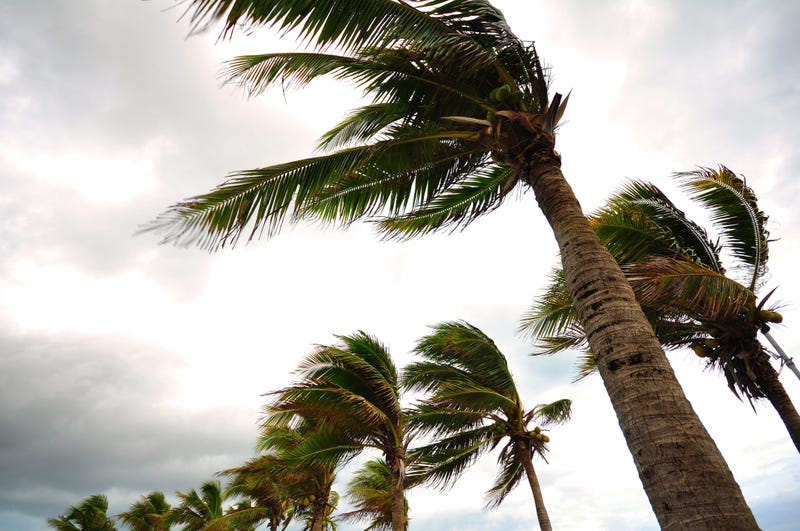
A huge system will be coming down from the northwest, with the initial impact being some very gusty winds.
A Red Flag Warning is in effect on Friday due to the expected high winds. Extremely dry conditions combined with gusty winds will create a some extreme fire conditions, such that NV Energy is expected to shut off power to a couple of areas of the Spring Mountains to reduce the chances for fires to break out.
The winds will usher in much cooler temps, too, with valley highs not expected to get out of the 50s this weekend. That stretch of cool weather is pretty much expected to last all week.
Lastly, Friday marks 200 days since McCarran Airport had its last measurable precipitation. That could come to an end this weekend, as well. The best chance for rain is Sunday. Nothing heavy is expected, but enough to bring the valley's record-long dry streak to an end.