A major snowstorm is heading across the central U.S. toward the eastern seaboard next weekend, potentially delivering a white Christmas to many states.
The low-pressure storm is expected to develop by Thursday and coincide with frigid temperatures as it makes its way across the country.
As a result, states in the southern and northern plains, the Midwest and the northeast and southeast regions could all see snow this Christmas weekend.
According to the National Weather Service Weather Prediction Center, a frigid Arctic airmass will plunge southward throughout this week, bringing dangerously cold temperatures and wind chills across the Central and Eastern U.S.
"A major storm system is forecast to impact much of the nation leading up to Christmas Eve, with widespread gusty winds, areas of heavy rain and heavy snow, as well as bitter cold in its wake," the agency said.
The NWS says the first half of the week starts off on a chilly note across the majority of the country as an Arctic front continues to inch its way south. With such impressively cold temperatures present, wintry precipitation is also expected in portions of the northern U.S.
The Northeast and Midwest will see light snow accumulations through Wednesday, with the heaviest snowfall set to occur in the northern Rockies where some could see more than 8 inches of snow. The NWS has issued a combination of Winter Storm Warnings, Advisories, and Watches for this multi-day snowfall event.
Farther south, an organizing wave of low pressure will traverse the Gulf
of Mexico and produce widespread showers and and thunderstorms along the Gulf Coast.
After the first storm system passes, attention turns to the Nation's Heartland
where a powerful winter storm is expected to develop in the second half of the week. The NWS is predicting disruptive snowfall accumulations, damaging wind gusts, and bitterly cold temperatures in the storm's wake.
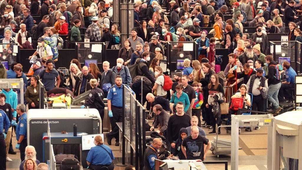
For those with travel plans, the forecasters are warning that the storm is likely to produce extensive travel delays before the holiday weekend.
According to AccuWeather, the storm will bring a wide swath of snow, rain and fierce winds from the Plains to the Atlantic Seaboard -- the likes of which haven't been seen in years.
"The intensifying storm will coincide with a surge of frigid air that will send temperatures to bone-chilling levels through the holiday weekend and could be one of the most intense and prolonged periods of Arctic air in decades during Christmastime," AccuWeather said. "The storm's timing could not be worse given the increased number of travelers leading up to Christmas as well as the pressure retailers and shipping companies face to keep shelves stocked and items on track for delivery."
AccuWeather is predicting snow from parts of the southern Plains to the Midwest, Northeast and even the interior Southeast states.
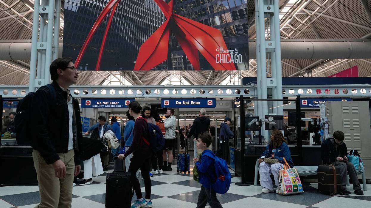
"This means that cities such as St. Louis and Nashville, and perhaps as far south as Dallas and Atlanta could be looking at some snow, as well as the more traditional wintry trouble spots farther north such as Chicago, Detroit and Pittsburgh," AccuWeather said.
Major metro areas of Washington, D.C., Baltimore, Philadelphia, New York City and Boston could also see a wintry mix, AccuWeather added.
LISTEN on the Audacy App
Sign up and follow Audacy
Facebook | Twitter | Instagram