


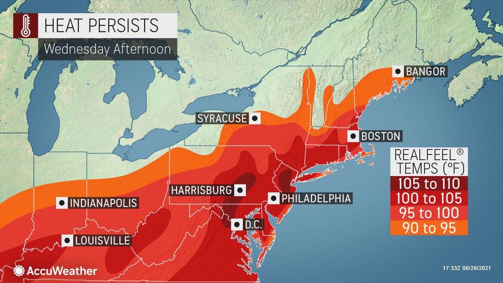
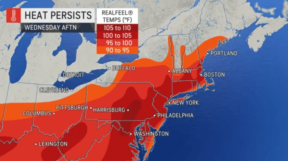
NEW YORK (1010 WINS) — A heat wave that moved into New York City on Monday is expected to linger through Wednesday night, with humidity on tap and spotty thunderstorms possible, according to AccuWeather.
A Heat Advisory is in effect until 8 p.m. on Wednesday after temperatures reached the 90s in the five boroughs on Sunday, Monday and Tuesday.
 AccuWeather
The weather is slated to stay hot and humid Wednesday, with a high of 96 degrees and RealFeels at or above 105. The current record high for June 30 is 99 degrees, set back in 1964.
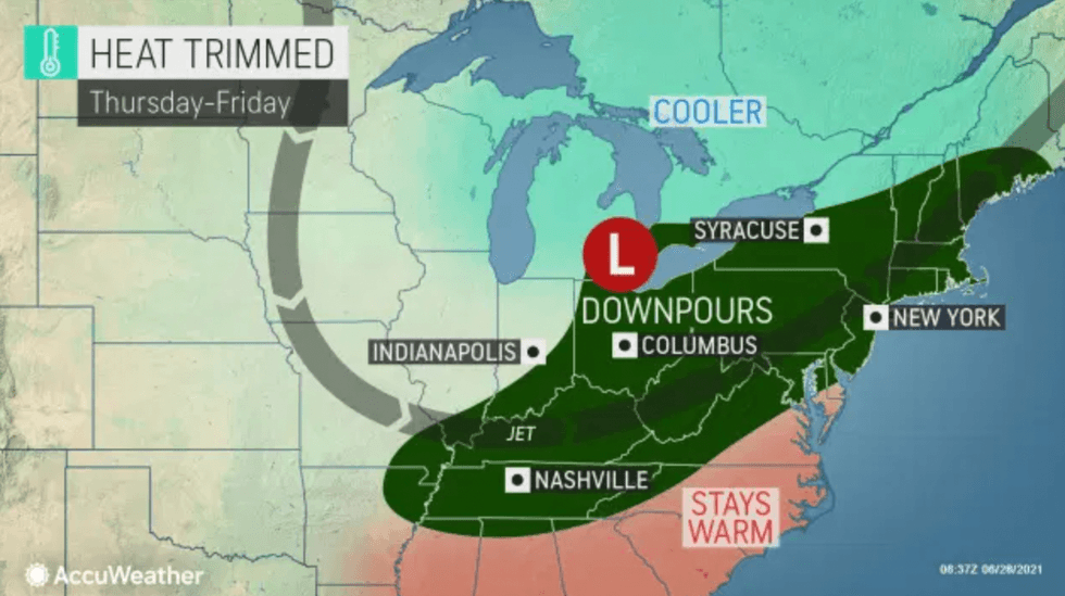
A heavy, gusty thunderstorm or two is expected to move through the area Wednesday evening and into the night.
 AccuWeather
Thursday won't be as hot — temperatures are supposed to reach 84 degrees — but the day will still be humid, with scattered showers and a thunderstorm possible.
 AccuWeather
Friday is expected to be cloudy, with several showers, a possible thunderstorm and a high of 75 degrees.
Highs will be in the low-to-mid 70s over the Fourth of July weekend, when more showers are possible Saturday and early Sunday.