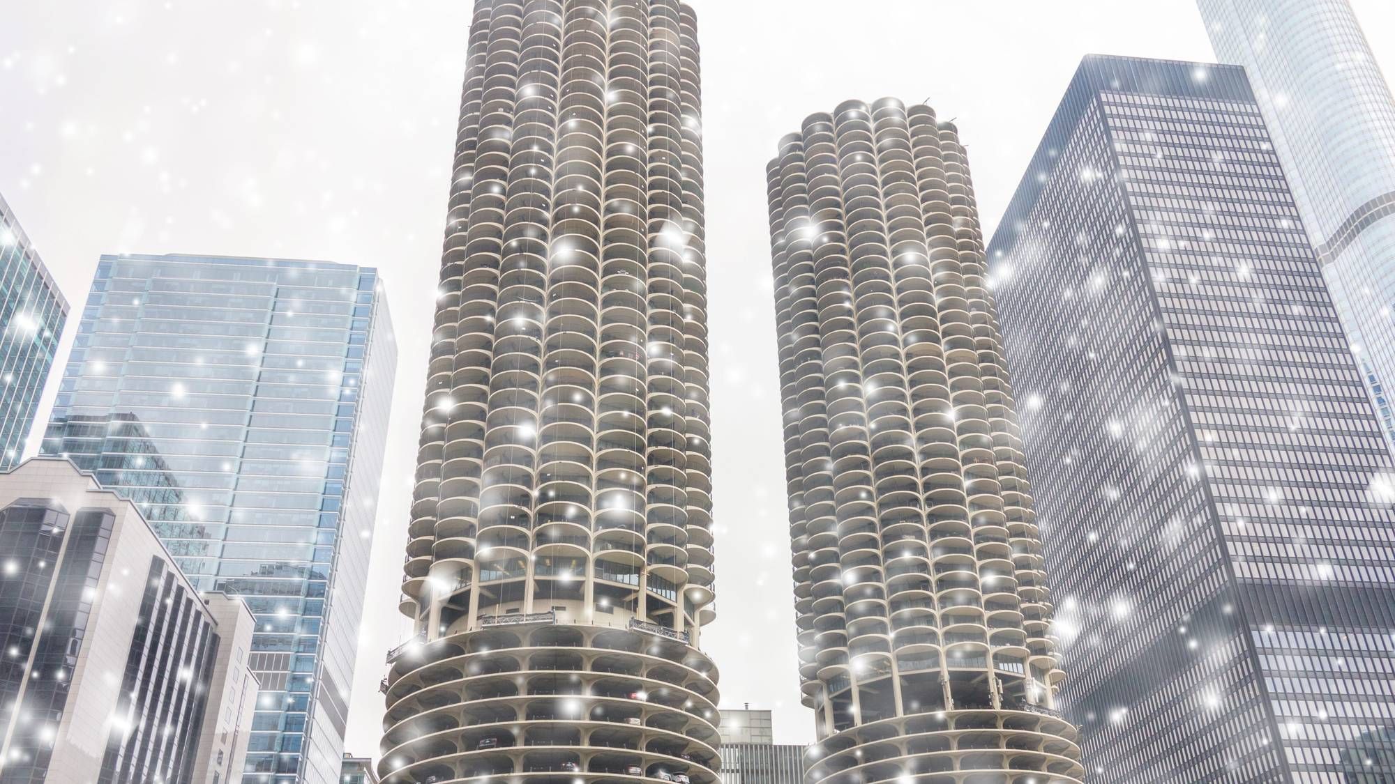
CHICAGO (WBBM NEWSRADIO) - Chicagoland has already seen the worst of Wednesday's snowfall, with some areas seeing as much as four inches of snow.
A Winter Weather Advisory, which had been in effect much of Wednesday morning and afternoon, was canceled for most of Chicagoland. It remained in effect for parts of northwest Indiana until 9 p.m. Wednesday, the National Weather Service said.
The snow began to fall overnight and light snow is expected to continue throughout the rest of the evening.
As expected, area roads have been slick and treacherous and visibility has been greatly reduced. The NWS says at times visibility has been down to less than a mile. The worst spots have been in the southwest suburbs, along I-80, with several vehicles ending up in ditches, and on I-294.
Although temperatures will rise above freezing over the afternoon, AccuWeather meteorologist Bob Larson said he expects to see slippery spots redevelop on roads as temperatures drop to 29 degrees.
Local air travel has also been greatly affected by the snow. As of2:45 p.m., O'Hare Airport reported 102 flight cancellations while Midway Airport called off 139 flights.
SNOW TOTALS THUS FAR:
Bolingbrook: 4.5 inches
Joliet: 4.3 inches
Lombard: 4.1 inches
Plainfield: 4 inches
O'Hare Airport: 3.5 inches
Bloomingdale: 3.5 inches
Schaumburg: 3.4 inches
Oswego: 3.4 inches
Romeoville: 3.3 inches
Crest Hill: 3.2 inches
Midway Airport: 3 inches
New Lenox: 3 inches
Naperville: 3 inches
Homer Glen: 3 inches
Downers Grove: 3 inches
Valparaiso, IN: 3 inches
Oak Lawn: 2.8 inches
Lemont: 2.8 inches
Crown Point, IN: 2.5 inches
Addison: 2 inches
Orland Hills: 1.8 inches
Listen to WBBM Newsradio now on Audacy!
Sign up and follow WBBM Newsradio
Facebook | Twitter | Instagram