


CHICAGO (WBBM NEWSRADIO) -- Sizing up the summer – weatherwise and looking at what's to come, WBBM Newsradio's Jennifer Keiper talked to the state's weather expert.
We started with a very wet spring.
"Precipitation accumulation going all the way back to January to May, many parts of the state, including Chicago coming off their third consecutive wet May, we were looking at a record wet year," said Illinois State Climatologist Trent Ford.
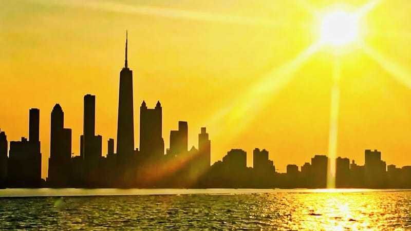
But we saw a turnaround this summer, with June, July and August slightly to very much drier than normal, hot – oh and as anyone with naturally curly hair found out, "looking at some of the dew point temperatures...it was a very humid summer."
Ford said, on average, we were 3-degrees warmer than previous years, making it the second warmest summer on record.
"And actually the warmest since 1995, and of course, in 1995, we go to that Chicago heat wave that was quite an infamous summer," he said.
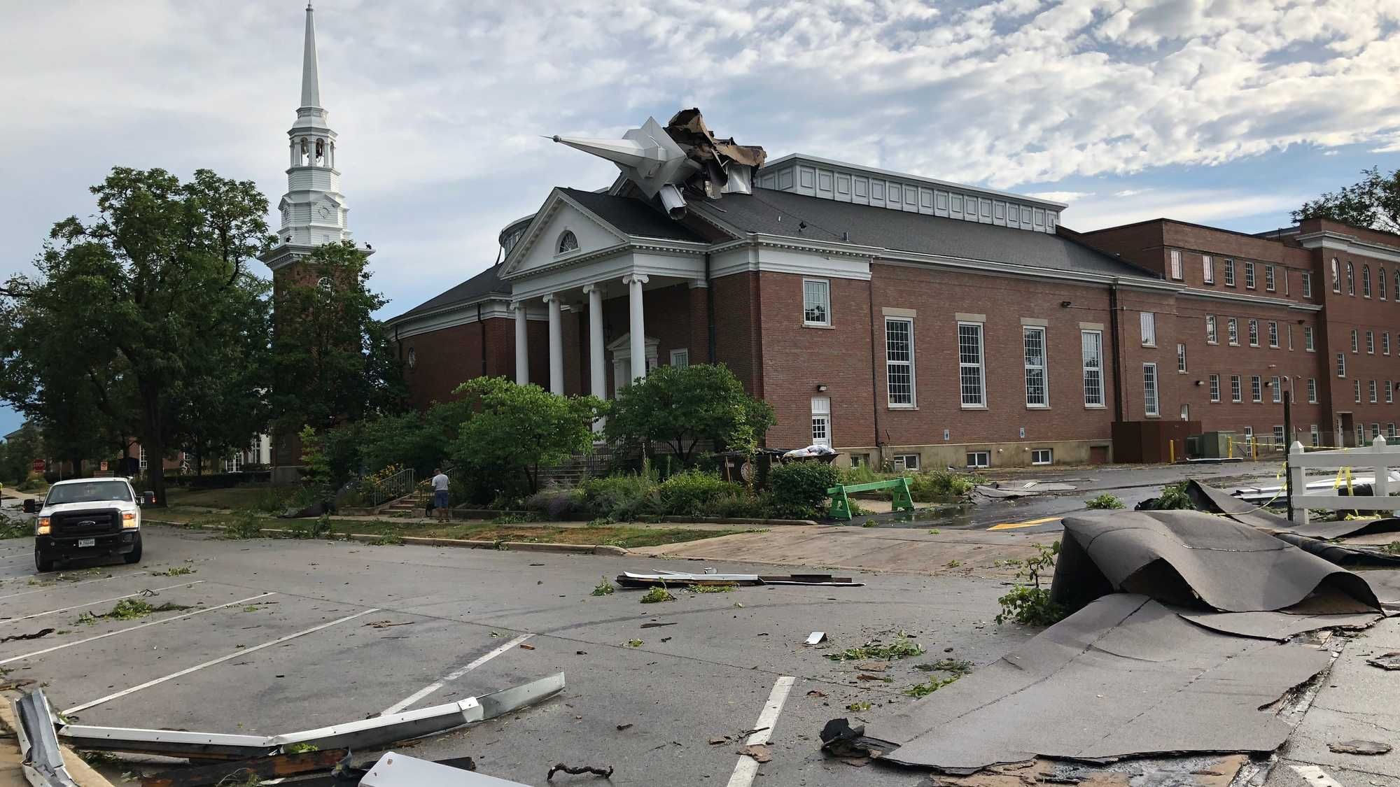
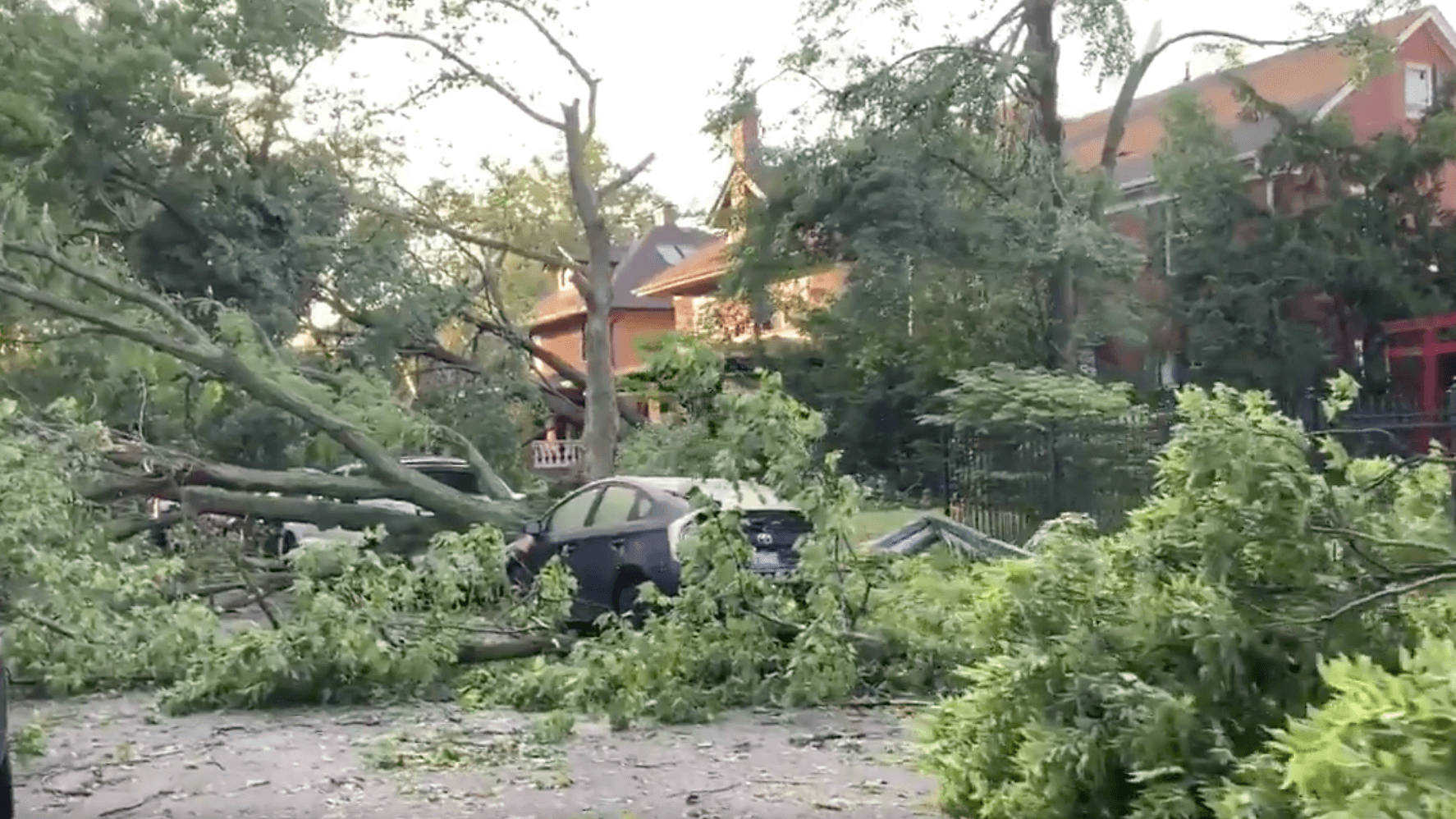
And then, in August there was a "derecho" that spawned over a dozen tornadoes in the area.
"I think that was kind of the most noteworthy weather feature for the summer, for sure, and although it did not create as much damage in Illinois, as it did in Iowa, it certainly did create a lot of significant damage to the Chicagoland area," he said.
Now for fall, "we are looking at the continuation of warmer and slightly drier than average conditions," Ford said.
With La Nina conditions predicted in the Pacific Ocean, Ford said here in the Midwest, we could see a wetter than usual winter.