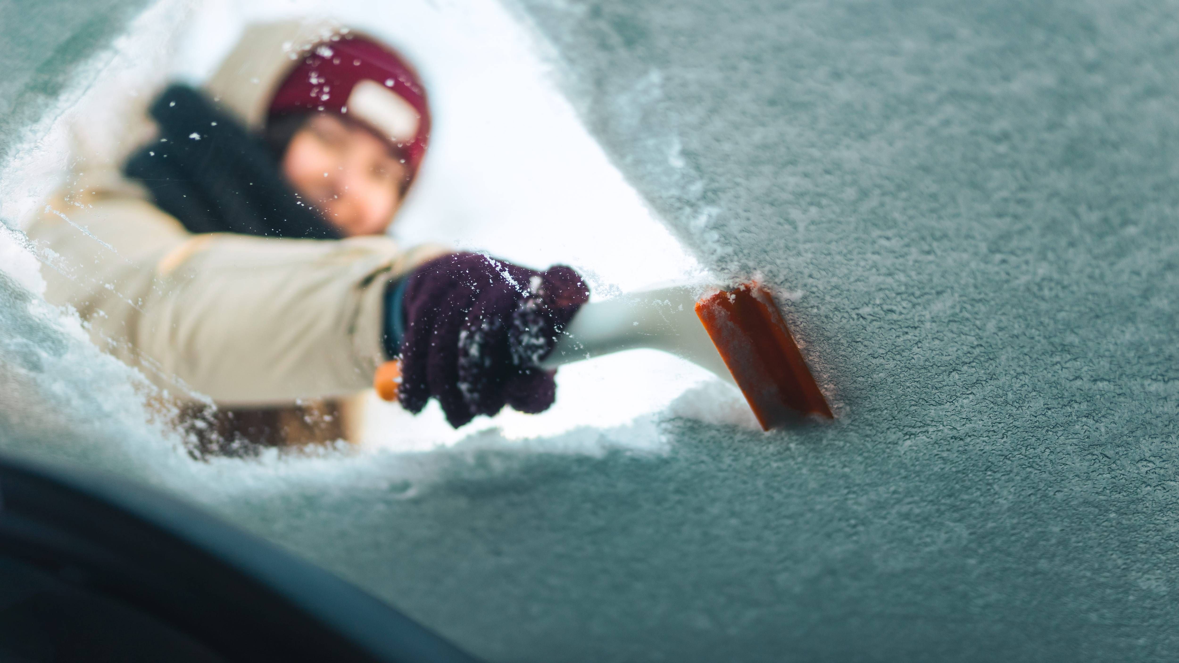


CHICAGO (WBBM NEWSRADIO) - We weren't going to get off that easy. After nearly two weeks of unseasonable warmth and sunshine, snow is on the way for the Chicago area.
The National Weather Service has issued a Winter Storm Warning for Lake and McHenry Counties. It's already in place and will remain in effect until 9 p.m. Cities impacted include Waukegan, Buffalo Grove, Mundelein and Gurnee. With temperatures in the mid 30s and slowly dropping, precipitation will start out this morning as rain and sleet then will change to snow by the afternoon. The NWS expects total accumulations to reach 4 to 7 inches. Wind gusts could reach as high as 40 mph, resulting in blowing snow.
As for the rest of the Chicago area, a Winter Weather Advisory has been announced for DuPage, Grundy, Will and Cook Counties and will last until 9 p.m. There, AccuWeather forecasts 1 to 3 inches of snow to fall by tonight.
The evening commute will not be a picnic. Icing of roads will certainly be a possibility, as temperatures will continue to fall in the evening and overnight hours, ultimately settling at a low of 18 degrees.
Air travel will also be problematic. Area airports have pre-emptively cancelled a good amount of flights. As of 9:40 a.m., O'Hare has called off 208 flights, while Midway has announced 119 cancellations.
The cold air will stick around tomorrow. Morning wind chills will be around zero and AccuWeather predicts a high of 27.
The good news: mild weather and sunshine will return for the weekend. By Sunday, temperatures will reach near 50, AccuWeather says.
With traffic and weather together on the :8s, be sure to listen to WBBM Newsradio for the most comprehensive storm coverage.
Listen to WBBM Newsradio now on Audacy!
Sign up and follow WBBM Newsradio
Facebook | Twitter | Instagram