Buffalo, NY (WBEN) - NOAA, the National Oceanic Atmospheric Administration is out with its annual long term winter weather outlook. It's based on meteorological data that is available as of the date of publication.
So, could we deal with piles of snow this winter in Western New York? The easy answer is, yes!
The National Weather Service says we could see normal temperatures this winter, but there's a chance of higher than normal precipitation levels.
National Weather Service meteorologist Heather Kenyon tells WBEN one of the factors is La Nina. "This is the third consecutive year for that. So that's showing signs that we could see that slightly above normal precipitation outlook for our area," says Kenyon. She notes other different weather patterns can put cold air across the area. "And as you know, across Western New York, if we get a cold snap that could produce a lot of snow in our area," explains Kenyon.
Kenyon says lake effect always plays a bigger role in winter weather in our region. "If we do get a period of colder than normal temperatures, that will create additional snowfall in our local area across Western New York," says Kenyon. While slightly above normal temperatures would cause Lake Erie to stay ice free for the winter, she adds it's almost impossible to tell this far out what the ice cover for Lake area will be for the winter.
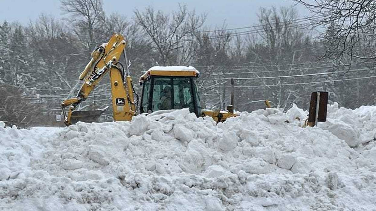
Some parts of WNY saw their first snowflakes Thursday.