



(AccuWeather/WBEN) Western New York will enjoy another sunny and warm day Sunday, with high temperatures ranging from the upper 70s to the mid-80s.
National Weather Service meteorologist Jim Mitchell details Sunday’s sunny conditions, Tuesday’s rising heat index values and the expected midweek cold front.
Conditions will remain comfortable Sunday night before temperatures begin climbing Monday. Highs are expected to reach the mid-to upper 80s, though humidity should remain tolerable.
The hottest weather is expected Tuesday, when temperatures could reach the upper 80s and low 90s east of the city. Heat index values may approach 90 degrees in Buffalo and could reach 100 degrees in Niagara and Orleans counties, where heat advisories may be possible.
A cold front is expected to arrive Wednesday, lowering humidity and bringing cooler conditions for the remainder of the week.
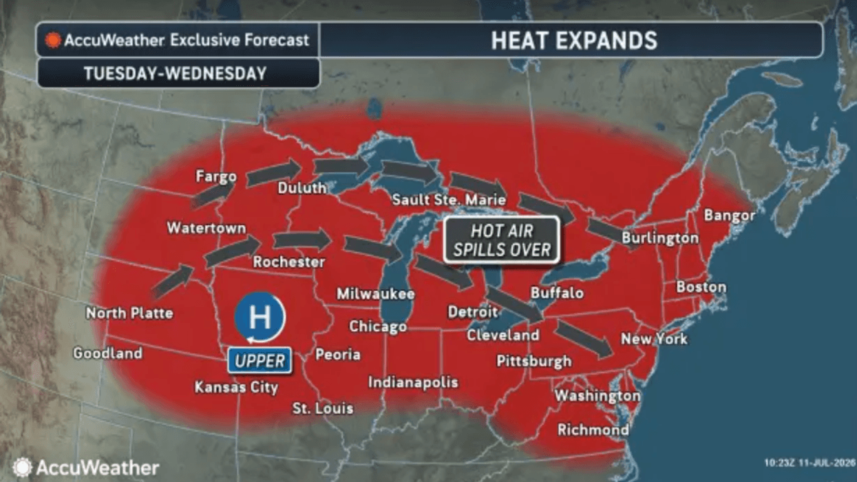
Across the Northeast, the hottest stretch is forecast from Tuesday through Friday as a heat dome expands across the region. The system is expected to weaken later in the week from north to south across the central and eastern United States.
Even as the heat dome breaks down farther east, much of the north-central United States is expected to remain warm to hot with little or no rainfall. Limited precipitation and high evaporation rates could increase stress on crops.