


Spring continues to struggle to take hold across the Buffalo-Niagara region, with just some gradual warming conditions Sunday, and more on Monday, before another round of unsettled weather arrives for Western New York.
After areas of frost and freeze early Sunday morning, warmer with breezy to windy conditions are in the forecast Sunday afternoon through Monday, National Weather Service forecasters say.
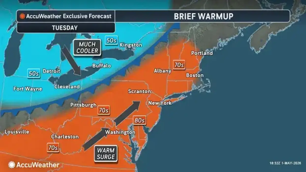
Daytime highs will bounce back into the mid-upper 50's in many areas Sunday and to the mid 60's to lower 70's Monday and Tuesday.
It will turn breezy to windy Sunday and through Monday across the region, with winds in the 30 to 35 mph range, forecasters say.
"We'll see our temperatures get into the mid to upper 50's," NWS meteorologist John Rozbicki tells WBEN. "It will also turn a little breezy to windy, maybe a couple of showers around later in the day, but it will be better than what we've had the past 3 or 4 days."
Another cool day today with some warmer air returning for Monday. #nywx pic.twitter.com/MYTFfAWrgQ
— NWS Buffalo (@NWSBUFFALO) May 3, 2026
Increasingly active weather returns Monday night and Tuesday, with widespread showers and a few storms later Tuesday through Wednesday.
Expect fairly widespread showers to produce another soaking rainfall through midweek, with some scattered thunderstorms also possible Tuesday into Tuesday evening.
"We'll start to get a little more unsettled again, Monday night into Tuesday as a cold front approaches," Rozbicki says. "That will give us another round of fairly widespread showers and a few thunderstorms, especially during the day Tuesday, Tuesday night into Wednesday."
Cooler and somewhat unsettled weather will round out the balance of the upcoming week, however not as cold as what we've experienced this weekend.
"After this weekend, most nights should not bring frost or freeze conditions in the Midwest and Northeast, but a couple of nights could still see them, especially in the Midwest away from the Great Lakes," AccuWeather Senior Meteorologist Brett Anderson said. "Clouds, breezes and showers will greatly limit the risk in the Northeast. Below-average departures during the first 10 days of May will be significant, especially in the Ohio Valley, Great Lakes and interior Northeast," Pastelok added. Historical average temperatures in May are higher than in April and tend to rise by a degree every few days."
"Another soaking rain through midweek."
"Another soaking rain through midweek."


