Arctic blast about to strike the US, bringing snow and more after record warm summer
Following a record-breaking summer of heat and a mild autumn for much of the U.S., a cold front is now creeping up to end our warm-weather days. A Saturday forecast from the National Weather Service predicted that a “frigid airmass” would descend upon the U.S.
The Central U.S., that is. West Coast temperatures are expected to warm up by Monday as the frigid air sweeps into the Southeast. In the Northern Plains and Great Lakes, “snowy, very cold and windy,” conditions are predicted.
Scientific American described it as an “arctic cold blast.”
“An unusually strong surge of polar airmass is in store for much of the eastern two-thirds of country over the next few days, the NWS explained. “The leading edge of this polar air mass is already plunging southward through the northern Plains this Saturday afternoon.”
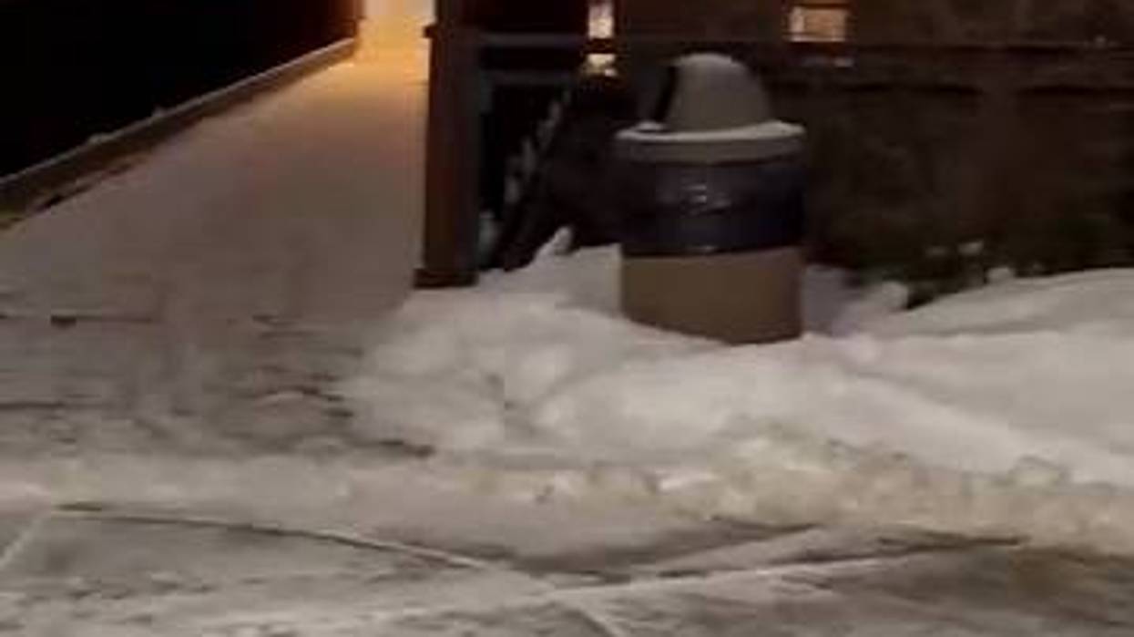
In the Great Lakes region, outlets in Ohio and Michigan were warning locals to brace for the first gust of winter weather.
Wet snow is forecast to follow the northern edge of a low pressure system created by the stark contrast between mild conditions on the West and East Costs compared to the centralized arctic blast. This swath of snow was expected to spread across the Midwest Saturday afternoon, reaching into lower Michigan by evening.
“The lower Great Lakes should see the precipitation starting out as rain on Sunday but as colder air arrives behind the low pressure system, periods of snow with falling temperatures along with windy conditions are expected on Monday,” the NWS added.
Chicago, Ill., and other areas along the shores of Lake Michigan could see “a period of locally enhanced snowfall Sunday night,” as a smaller system forms over the “relatively warm” lake. Snow could also fall on the western slopes of the central Appalachians Monday.
In contrast, the South and East Coast are being met with a low pressure system that “will bring very mild conditions for November over the weekend before the arrival of sharply falling temperatures associated with the polar surge.”
While snow is predicted to fall in some areas Sunday, the nation’s capital could see 70-degree temperatures as thunderstorms pass across the Mid-Atlantic. A higher chance of showers and thunderstorms is also expected across southern half of New England later Sunday and Sunday night.
“A potent cold front will sweep through the East Coast and then out into the Atlantic Sunday night with passing showers and embedded thunderstorms up and down the East Coast,” the NWS said.
Then temperatures are expected to fall sharply and blustery winds are set to increase from the west on Monday, with high temperatures predicted to struggle to reach the freezing mark on Monday along the central Appalachians. Below freezing temperatures are also forecast to reach “deep into the South” by Monday morning.
“In the West, an upper ridge will be amplifying as the polar plunge occurs in the central and eastern U.S.,” said the NWS. “The upper ridge will expand the unseasonably warm temperatures into the northern High Plains by Monday.”
In potions of southern Texas, this weekend will be marked by concerns about fire weather due to increasing winds and dry conditions on Sunday. Rain is expected in Pacific Northwest on Monday.