


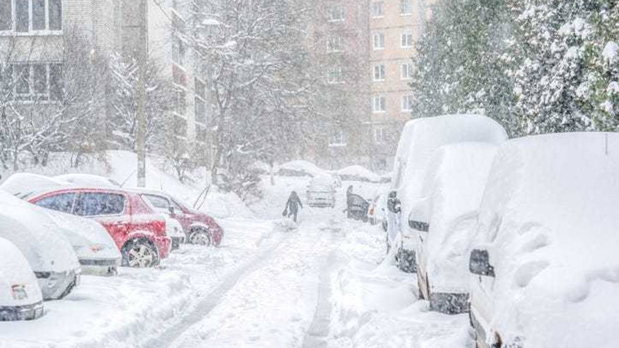
A bomb cyclone is bearing down on the United States with a massive arctic blast and blizzard-like conditions that could bring travel to a standstill in multiple states.
The storm is currently pummeling the Pacific Northwest and Northern California with heavy snow falling at rates of 1-2 inches per hour, flooding rain and wind gusts topping 100 miles per hour, The Weather Channel reported.
By Thursday night, the storm system will track towards the Midwest where it will bring another round of impactful wintry weather and strong winds to the Central U.S. late week, according to the National Weather Service's Weather Prediction Center.
"This system will emerge into the Plains Thursday and strengthen into a potent winter storm by Friday," the NWS said. "A swath of heavy snow is likely from the Central Plains through the Great Lakes where the probability of exceeding 4 inches is above 70% from eastern Nebraska through lower Michigan."
Forecasters say intense bursts of snow of 1-2 inches per hour combined with wind gusts over 50 MPH will lead to rapid changes in visibility, occasional whiteouts, and pose significant danger to motorists. Hundreds of miles of interstates over the Plains, Midwest states and the Northeast may experience lingering snow and icy conditions from the wintry side of the storm, according to AccuWeather.
The storm could also cause severe thunderstorms with potential to produce high winds and a few strong tornadoes across parts of the Southeast on Friday.
"Strong thunderstorm development is possible Thursday night across parts of central and eastern Texas into the lower Mississippi Valley, where storms may increasingly pose a risk for severe hail, wind and tornadoes prior to daybreak Friday," the NWS said.
As the storm loses steam, it will send temperatures dropping to their coldest of the season so far. The NWS says frigid arctic air will begin to spread southward across the heart of the country this weekend and is expected to continue into next week; temperatures may struggle to climb past the single digits. Below normal temperatures along with gusty winds will lead to wind chills well below zero for many locations.
"By Tuesday morning, lows may bottom out into the 20s as far south as south Texas and the Central Gulf Coast Monday night," the NWS said. "Frostbite and hypothermia will be a concern if precautions are not taken, and dangerously cold wind chills could cause frostbite on exposed skin in as little as 10 minutes."
The term "bomb cyclone," or bombogenesis, applies to a rapidly intensifying storm that undergoes a pressure drop of at least 24 millibars over a 24-hour period, according to the National Oceanic and Atmospheric Administration. Hazards of a bomb cyclone include: High, intense winds that can cause power outages; blizzard conditions with heavy, blowing snow and whiteout conditions; and rainfall on snow that can cause river flooding.


