


Buffalo, N.Y. (WBEN) - The seemingly endless line of lake effect snow is on its last stand across portions of Western New York Friday, with its final act continuing to drop accumulations south of Buffalo.
A Winter Storm Warning remains posted through Friday night for southern Erie County, as well as the southern tier counties.
Lake effect snow across the higher terrain east of Lake Erie and well south of Buffalo will continue to gradually weaken through the day before ending tonight.
"We have one day of lake effect left," National Weather Service metoerologist John Hitchcock tells WBEN. "We're looking at another 2 to 4 inches well south of Buffalo across the higher terrain." Most of that snow will fall through the morning hours Friday. "This finally ends tonight."
The Weekend
We won't escape the weekend without a bit more snow, however nothing that will be problematic, forecasters say.
"A weak weather system moves through Saturday night that will produce a general light snowfall, that will produce a dusting to an inch or two area wide," Hitchcock says.
A few light, leftover snow showers are in the Sunday forecast, not worth more than a dusting.
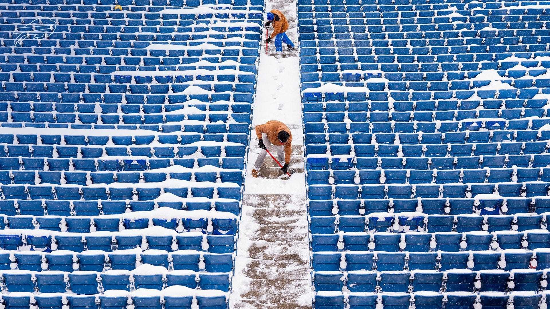
It will be breezy and cold Sunday, with temps in the 20's for the Bills-Jets game at Highmark Stadium. "It'll be a chilly day on Sunday for the last game at the old Highmark Stadium."
 AccuWeather.com
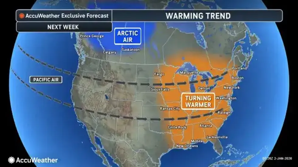
Warmup?
A notable warming trend will come this way for the middle to end of next week, Tuesday through Thursday.
"We have a January thaw on the horizon," Hitchcock tells us. "Highs move above freezing. We could even crack the 40 degree mark on Tuesday." It remains in the 40's for the remainder of the week as well.
"Melting snow for the middle of next week."
WINTER STORM WARNING REMAINS IN EFFECT UNTIL 10 PM EST THIS EVENING
* WHAT...Heavy lake effect snow. Additional snow accumulations 8 to 14 inches.
* WHERE...Wyoming, Chautauqua, Cattaraugus, and Southern Erie Counties. The greatest additional accumulations will be along the Lake Erie shore, Boston Hills, and Chautauqua Ridge.
* WHEN...Until 10 PM EST this evening. The majority of the additional accumulations will be this morning, with lake effect snow weakening through the afternoon.
* IMPACTS...Travel will be very difficult with deep snow cover on roads and very poor visibility. The hazardous conditions will impact the Friday morning commute.
PRECAUTIONARY/PREPAREDNESS ACTIONS...
Widespread accumulating snow will create dangerous travel conditions.


