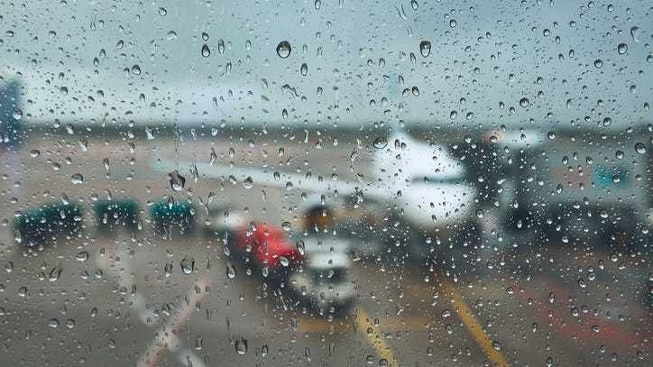
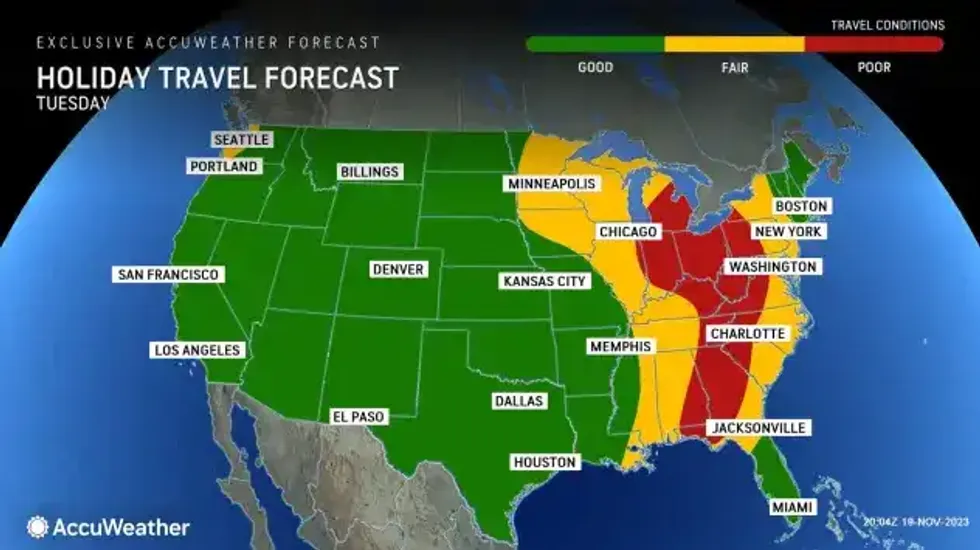
Buffalo, N.Y. (WBEN) - Compared to how the long range forecast was looking last week, the Thanksgiving holiday travel forecast for Western New York looks pretty manageable and typical for the period.
"Last week we talked about, models were showing a more significant amount of colder air moving in ... but over the past few days, fortunately the models have backed-off on that idea," National Weather Service meteorologist Tony Ansuini told WBEN early Monday. "Now showing much better weather for the middle and end part of this week."
High winds will impact the southern portion of Erie County and southern tier Tuesday with winds of 20 to 30 mph and gusts to 60 mph possible at times across the area. A High Wind Warning(below) is posted for southern Erie County and Chautauqua County and a Wind Advisory is posted for Wyoming and Cattaraugus counties.
A small storm system will impact our weather Tuesday and Tuesday night, bringing mainly rain and the possibility of some light wintry mix at times. "That shouldn't cause any issues," Ansuini tells us. Some gusty winds will accompany the system with gusts up to 45 mph possible.
 Accuweather.com
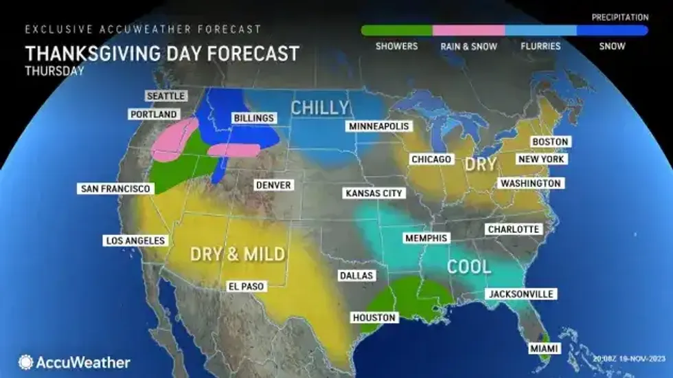
As Thanksgiving Day approaches, 'uneventful' is how Ansuini describes the forecast for Western New York. "For Wednesday, Thanksgiving Day, and even into the holiday weekend, little in the way of precipitation."
Cool conditions will prevail, Ansuini says, with temperatures for the period mainly in the 40's.
 Accuweather.com
HIGH WIND WARNING IN EFFECT FROM 9 AM TO 11 PM EST TUESDAY
* WHAT...Southeast winds 30 to 40 mph with gusts up to 60 mph expected.
* WHERE...Chautauqua and Southern Erie counties. The strongest winds will be along the Lake Erie shore and near north and northwest facing slopes.
* WHEN...From 9 AM to 11 PM EST Tuesday.
* IMPACTS...Damaging winds will blow down trees and power lines.
Scattered power outages are expected. Travel will be difficult, especially for high profile vehicles along the NY Thruway where the strong southeast winds are a cross-wind.
PRECAUTIONARY/PREPAREDNESS ACTIONS...
People should avoid being outside in forested areas and around trees and branches. If possible, remain in the lower levels of your home during the windstorm, and avoid windows. Use caution if you must drive.
WIND ADVISORY IN EFFECT FROM 11 AM TO 11 PM EST TUESDAY
* WHAT...Southeast winds 25 to 35 mph with gusts up to 50 mph expected.
* WHERE...Wyoming and Cattaraugus counties. The strongest gusts will be on ridgetops and near north facing slopes.
* WHEN...From 11 AM to 11 PM EST Tuesday.
* IMPACTS...Gusty winds could blow around unsecured objects. Tree limbs could be blown down and a few isolated power outages may result.
PRECAUTIONARY/PREPAREDNESS ACTIONS...
Use extra caution when driving, especially if operating a high profile vehicle. Secure outdoor objects.