Buffalo, N.Y. (WBEN) - We've waited for this!
A winter warmup is here and we'll experience a few consecutive days of temperatures above the freezing mark.
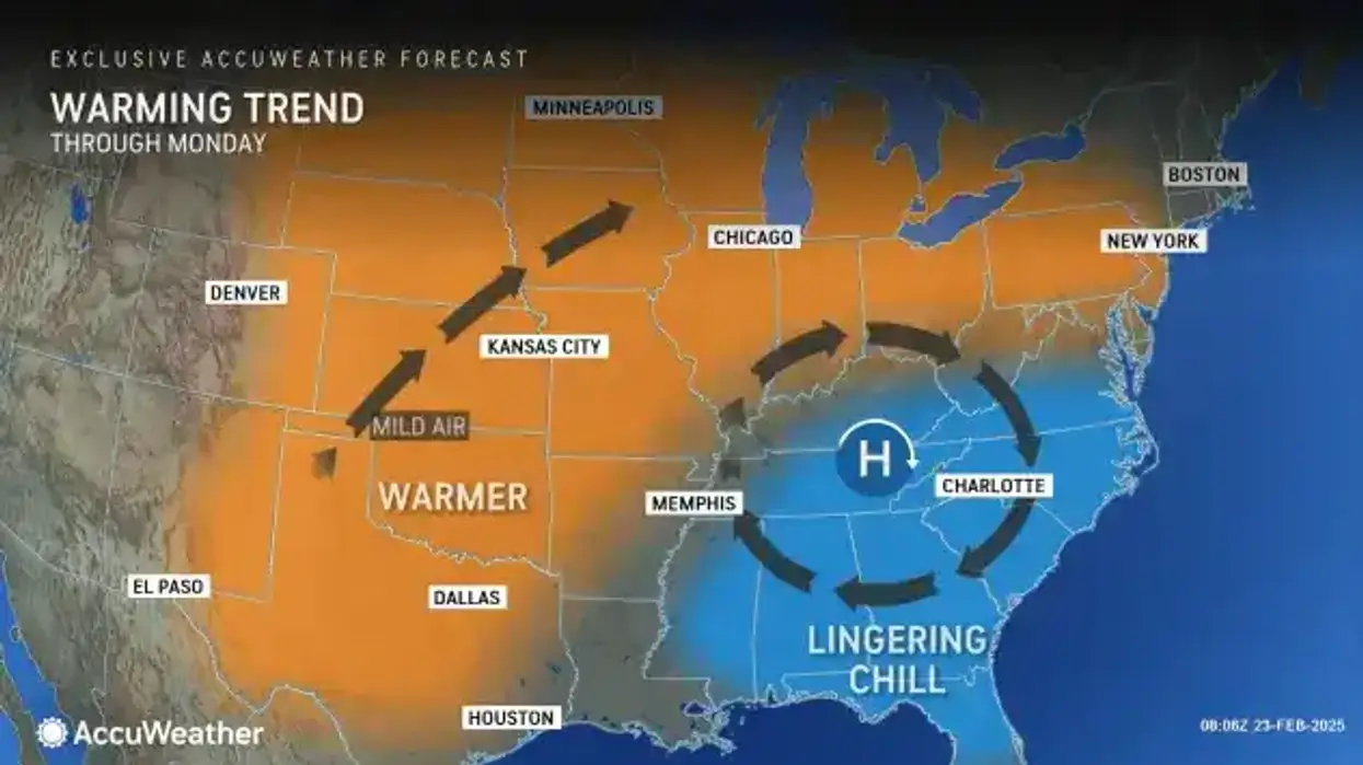
High pressure to the southeast and low pressure far to our north will provide much warmer but windy weather Monday. The warmer stretch of weather will last through at least midweek, however colder air and chances for snow will then make a return later in the week.
"It is going to be quite warm today," National Weather Service meteorologist Phillip Pandolfo tells WBEN. "We're looking at high temperatures in the mid 40's around the metro Buffalo area."
And the really good news?
"A few spots across Western New York may even reach the 50 degrees mark," Pandolfo notes. The substantial snowpack remaining may make that 50 degree reading touch to reach.
It will be windy Monday, with gusts of 40 to 45 mph at times.
NWS forecasters are not overly concerned the substantial warmup will lead to any significant flooding potential. "We would need to be a little bit warmer, or warmer for a little bit longer than what we're going to be looking at," Pandolfo says.
A return to cold, and snow, is only a matter of days away, however.
We'll continue to flirt with the 40's through Thursday before a new front moves through an ushers in below normal temperatures. Again.
"We'll see temperatures plunging back into the teens and low 20's, and then high temperatures Friday only in the mid 20's."