We were forewarned and we were ready, but the severe impact of spring storms across the Western New York region Tuesday was muted compared to what happened elsewhere and what forecasters predicted may have been possible.
"For the most part, the metro area was spared from the severe weather, thanks to the stabilizing effects of Lake Erie," National Weather Service meteorologist Tony Ansuini tells WBEN. "Most of the thunderstorm activity extended from the southern tier, through Wyoming County and eastward toward the Finger Lakes."
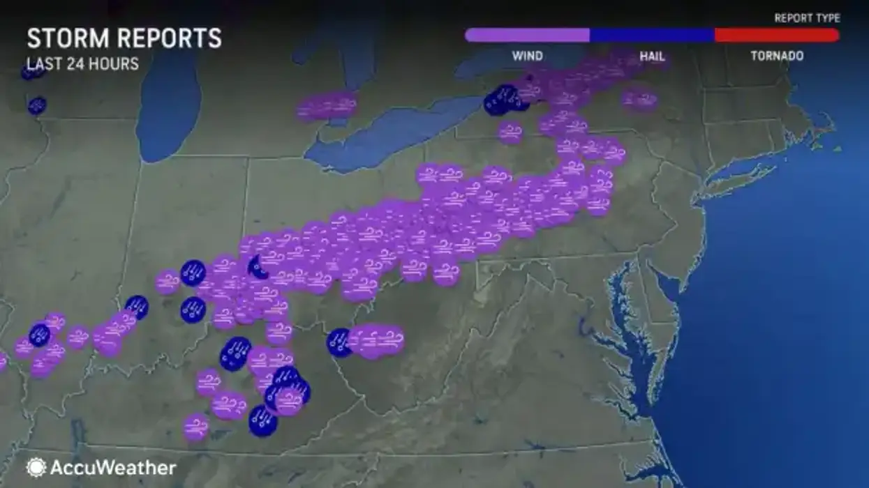
Embedded in a few of the more severe storm lines that cross the region, there was some serious wind and hail to contend with, particularly across Wyoming County.
"We had quite a few reports of damaging straight line winds with the thunderstorms, with wind gusts in excess of 60 mph downing trees and power lines," Ansuini tells us. "We also had quite a few reports of large hail, with largest hail being golf ball sized hail in Warsaw in Wyoming County."
The wind has subsided with the frontal passage and it was quite extreme at times Tuesday.
"We had peak wind gusts outside of the thunderstorms of 40 to 50 mph," Ansuini says. Embedded within some of the storms, winds exceeded 60 mph at times.
New Pattern
Gone are the balmy 80 degree temperatures seen across much of the region Tuesday, replaced with much cooler, but drier and calmer air.
"Much colder day today than it was yesterday," Ansuini promises. "Despite sunny skies, we will only see high temperatures only 55 degrees."
Looking Ahead
The recently departed frontal boundary will lift back northward as a warm front Thursday, ushering in the next round of showers and possible thunderstorms that will remain through Friday. This warm front will bring a mild start to May, though temperatures will be reduced a bit for the weekend.