


Buffalo, N.Y. (WBEN) - Timing is everything and Mother Nature held off with the rain and potentially strong storms until the weekend passed.
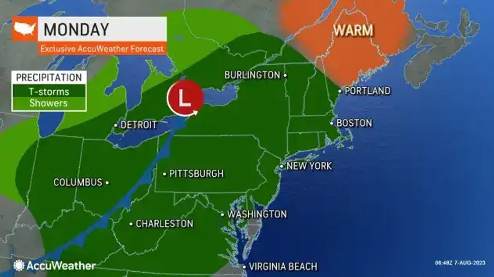
National Weather Service forecasters say low pressure will track into the Lower Lakes today with another round of showers and thunderstorms, some of which could produce gusty winds, hail and heavy rain. Additional showers and storms will be possible tonight through Tuesday as the low pressure system slowly moves through the region.
Meteorologist Aaron Reynolds tells WBEN the severe storm potential is most likely between 2 p.m. and sunset. "Some could produce severe weather," Reynolds said. "We'll have some gusty winds with them, some small hail, also some very heavy rain."
"Unsettled weather will return by tonight as an area of low pressure and warm frontal boundary approaches the region," National Weather Service meteorologists in Buffalo say. "Additional chances for showers and storms will be possible Monday through Tuesday ... some of these storms will have the potential to produce gusty winds and heavy rainfall."
The strong storms will be more likely away from Lake Erie, Reynolds tells WBEN. "The further you go east across the state, there's a greater chance for severe weather."
Showers will then taper off from west to east by Tuesday night as the low moves off into New England. High pressure builds in Wednesday with a brief return to quiet dry weather.
 AccuWeather.com
Although the week will not be a complete washout, forecasters say the rounds of clouds, showers and thunderstorms will help to keep temperatures in check.


