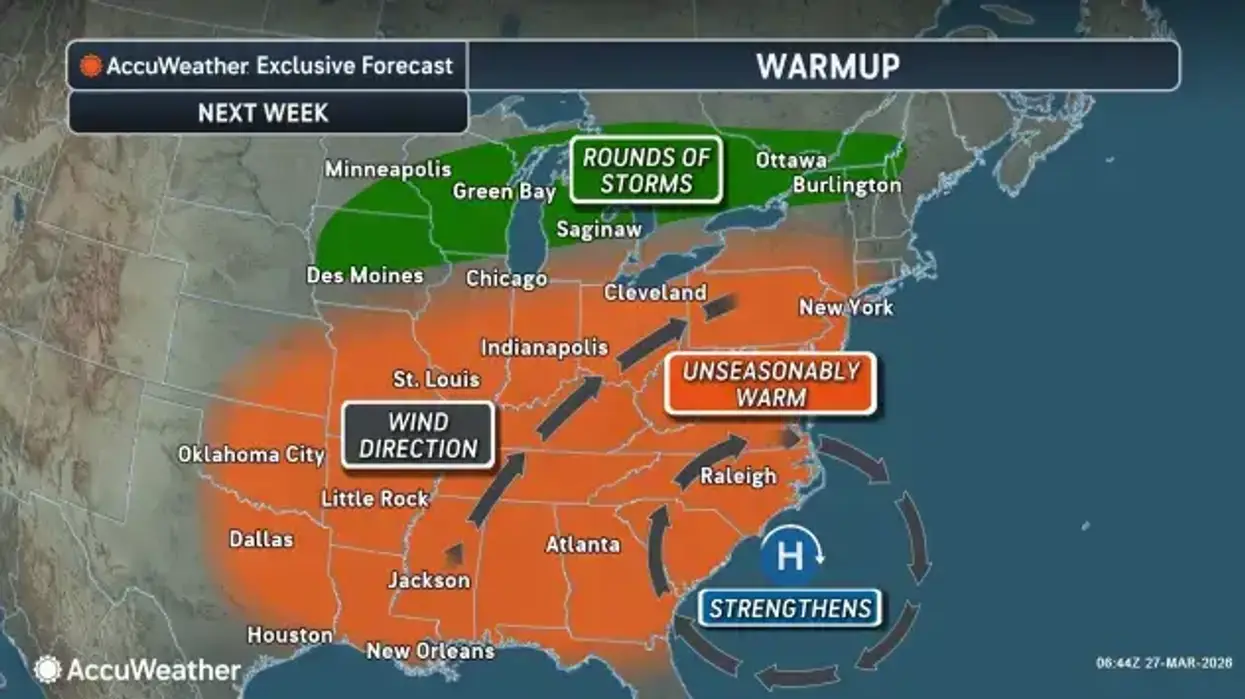
A significant warming trend will start today and continue through Tuesday, and rounds of rainfall will mix into the weekday forecast beginning Tuesday as well, National Weather Service forecasters say.
Temperatures Sunday afternoon will be noticeably warmer than temperatures on Saturday, with most areas at least 15 degrees warmer. Temperatures will reach near 50 to the mid 50’s for most areas south of Lake Ontario. The exception to this will be for areas right near the lakes, especially northeast of the lakes, where cooler lake waters will keep temperatures around 5 degrees cooler compared to farther inland areas.
Temperatures are still chilly this morning, but a day to day warming trend will start this afternoon and last through Tuesday. Highs will reach the 50s this afternoon in most areas, with 40s close to Lake Erie and east of Lake Ontario. pic.twitter.com/kslfDDWCYn
— NWS Buffalo (@NWSBUFFALO) March 29, 2026
Overnight lows tonight will also remain warmer than the past couple nights. Temperatures south of Lake Ontario will cool to the upper 30's to low 40's.
A day to day warming trend will continue Monday through Tuesday. Highs Monday will reach the mid to upper 50's in most areas.
The warmth will peak Tuesday ahead of an approaching cold front. Clouds and showers may temper warming to some extent, but still support lower 70's across the lower elevations of Western and Central NY.
Several rounds of heavy rainfall are possible Tuesday through the end of the week, with the most concerning period being late Tuesday into Wednesday.
Widespread rainfall of a half inch to an inch is likely, with some higher amounts possible. These rainfall amounts would bring with them a risk of poor drainage flooding and rises on area rivers and creeks. The chance of more impactful flooding would increase if the higher end rainfall amounts are realized.
The warmth will peak Tuesday ahead of an approaching cold front
The warmth will peak Tuesday ahead of an approaching cold front