Buffalo, N.Y. (WBEN) - Before Punxsutawney Phil has his say on Groundhog Day Wednesday, forecasters are weighing-in as they track the potential for a winter storm later this week.
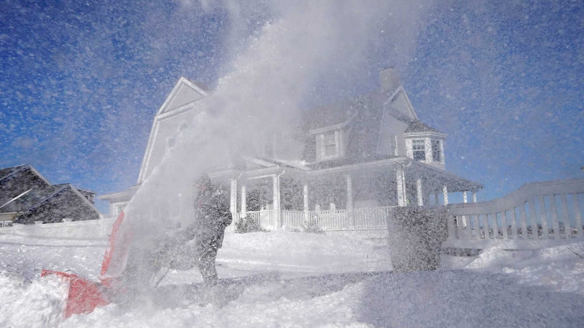
AccuWeather meteorologists are tracking the makings of what they describe as a far-reaching, disruptive winter storm which is forecast to spread a plowable snow and significant icing from the central and southern Rockies to parts of the Northeast this week.
The massive storm system will target the central portion of the country first before making its way northeast with less certainty of its severity being referenced by forecasters.
AccuWeather meteorologists stress that even small changes in the track of the storm can have large implications on precipitation types and whether a location lies within the corridor of rain, steady snow, significant icing, or nuisance flurries and light snow. In addition, a push of dry air behind the storm could plunge farther south than currently anticipated, leading to lower snowfall amounts on the northern and western edges of precipitation.
National Weather Service forecasters in Buffalo are referencing the possibility of a significant storm for later in the week but are also cautioning there are many variables and things could change dramatically in the next couple days.
"Right now...its looking like an all snow event," say NOAA meteorologists in their forecast discussion. "The question is just how much...too early to say at this point."
Meteorologists are sounding more like broadcasters in offering more precise guidance on the potential storm.
"Stay tuned," say NOAA Buffalo meteorologists.
We'll continue to track the storm's progress and path on WBEN.