


Buffalo, N.Y. (WBEN) - You what what they say? If you don't like the weather in Western New York, just wait a minute!
Well, that will prove to be true again across the Buffalo-Niagara region, as we enjoy one more day of dry weather, before again returning to a wet pattern for the remainder of the week and beyond.
"We are heading into an unsettled pattern again after today," National Weather Service meteorologist John Hitchcock tells WBEN. "It doesn't look nearly as bad as last week."
Clear skies will gradually give way to increasing high clouds from Southwest to Northeast on Tuesday, and high temperatures will settle into the low 70s.
And then?
"Tomorrow afternoon will be quite rainy," Hitchcock cautions. "But after that, it will be just spotty showers the rest of the week."
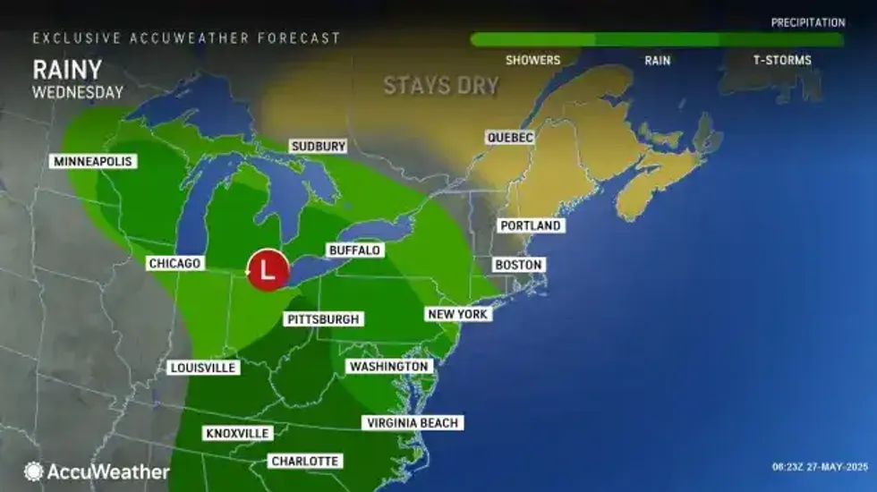 AccuWeather.com
High temps the remainder of the week will top out in the low-to-mid-60s.
For the upcoming weekend?
"Saturday looks on the wet side, then mainly dry Sunday and turning cooler over the weekend."
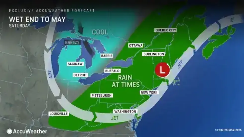 AccuWeather.com
Looking ahead?
By Monday, forecasters predict a general reduction in shower chances along with temps at least climbing back closer to normal.
 AccuWeather.com
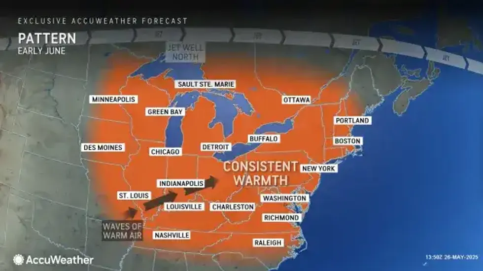
Looking ahead, the pattern of long-lasting cool and rainy conditions may end soon, AccuWeather meteorologists say.
"There are signs that a stronger warming trend will develop next week, and that could begin during the latter part of the first weekend in June," AccuWeather Meteorologist Elizabeth Danco said.


