Buffalo, N.Y. (WBEN) - Similar to the way lake effect snow punishes one locality and leaves another in the clear, lake effect rainfall Tuesday punished a portion of the metro Buffalo area with drenching downpours.
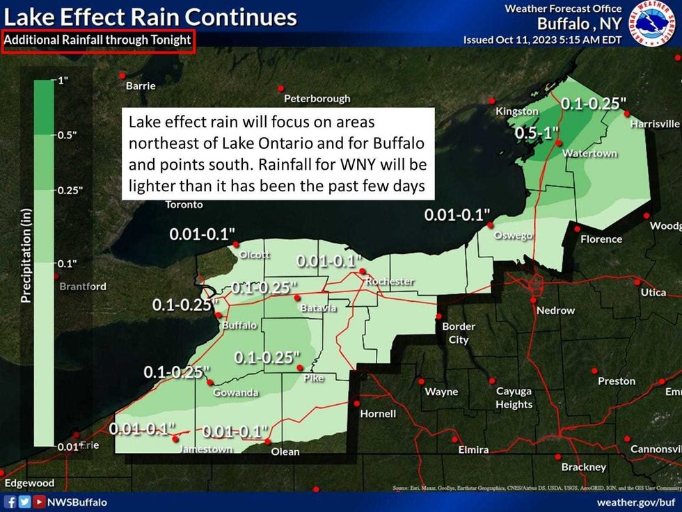
The lake effect rain band had settled southward early Wednesday but will reorganize and return to the Buffalo area in a weakened state during the day Wednesday, National Weather Service forecasters say.
"Lake effect rain will gradually taper off from west to east ... but will not end altogether until later Thursday afternoon," NWS forecasters say.
 NOAA Buffalo
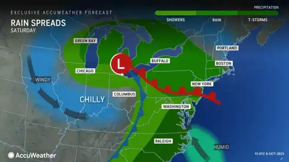
We'll enjoy a brief respite from the waves of rain most of Thursday and Friday before the next round of rain targets the region for the weekend. Forecasters say clearing skies are expected Thursday night as the mid and upper level low influencing our weather the past several days finally pulls away.
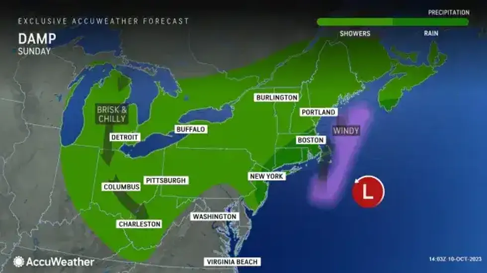
A wet, cool, and breezy weekend is becoming more likely across the eastern Great Lakes region. Steadier rain should move into WNY around, or shortly after midnight on Friday night. Saturday is forecast to be 'rainy' and Sunday, 'damp'.
Temperatures briefly warm to the mid 50s to low 60s across the area, for Friday, which is right around normal. Temperatures will remain below normal Saturday through Tuesday with highs in the 40s-50s and lows in the 30s-40s.
 AccuWeather.com
 AccuWeather.com