


Buffalo, N.Y. (WBEN) - St. Patrick's Day across the Buffalo-Niagara and Western New York region looks and feels much more like winter than spring, with snow on the ground and temperatures in the teens to start the day and topping out in the 20's.
"It's not the coldest St. Patrick's Day on record," National Weather Service meteorologist Heather Kenyon tells WBEN. But it's been about 20 plus years since the Buffalo area has seen a St. Patrick's Day with such cold temps and snow covered ground and roads. "It's more like mid-winter, than March."
While the bulk of the accumulating snow fell late Monday night and overnight, it will remain wintry through the day Tuesday.
"We'll still have some lingering snow showers around...wind gusts still in the 40 to 50 mph range, however winds are going to taper off through the day...temperatures are going to remain low," Kenyon says. Highs will remain in the low 20's for Tuesday. Low temperatures will fall to the single digits to low teens Tuesday night.
A Wind Advisory remains posted for the region through 11 a.m. Tuesday.
No additional significant accumulation is expected Tuesday across the Buffalo metro area, with only nuisance snow showers falling, mainly across the southern tier as the day wears on, where an additional 2 to 4 inches is possible.
A Winter Weather Advisory is posted for Chautauqua and Cattaraugus counties through 8 p.m. Tuesday.
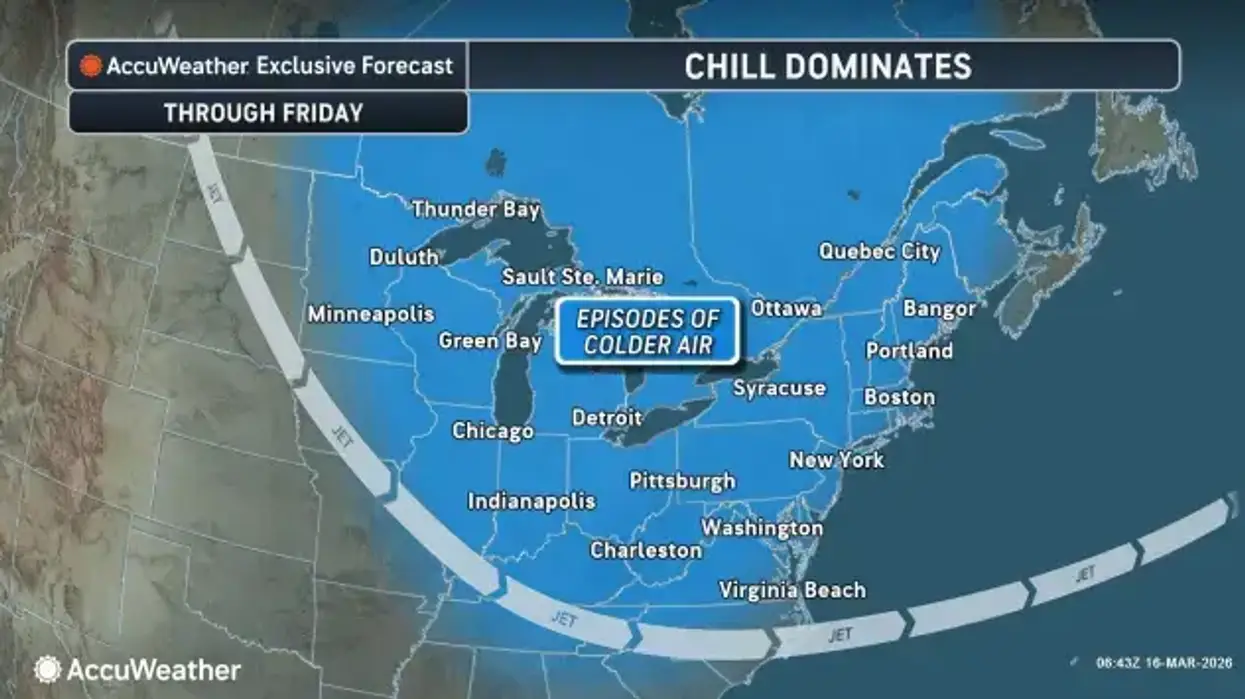
As the work week unfolds, we'll have a gradual warmup as we go into the 30's on Wednesday, and then we'll be into the 40's for Thursday and Friday, with some rain-snow mix in the forecast as well.

WIND ADVISORY REMAINS IN EFFECT UNTIL 11 AM EDT THIS MORNING
* WHAT...West winds 25 to 35 mph with gusts up to 50 mph.
* WHERE...Niagara, Orleans, Monroe, Northern Erie, Genesee, and Wyoming Counties.
* WHEN...Until 11 AM EDT this morning.
* IMPACTS...Gusty winds will blow around unsecured objects. Tree limbs could be blown down and a few power outages may result.
PRECAUTIONARY/PREPAREDNESS ACTIONS...
Use extra caution when driving, especially if operating a high profile vehicle. Secure outdoor objects.
WINTER WEATHER ADVISORY REMAINS IN EFFECT UNTIL 8 PM EDT THIS EVENING
* WHAT...Snow. Additional snow accumulations 2 to 5 inches. Winds gusting as high as 45 mph will produce blowing and drifting snow.
* WHERE...Chautauqua and Cattaraugus Counties. The greatest accumulations will be across higher terrain inland from Lake Erie.
* WHEN...Until 8 PM EDT this evening.
* IMPACTS...Plan on slippery road conditions. The hazardous conditions will impact the Tuesday morning commute. Gusty winds will down tree branches and cause isolated power outages.
PRECAUTIONARY/PREPAREDNESS ACTIONS...
Periods of snow will result in snow covered roads and limited visibilities. Slow down and use caution while driving.


