


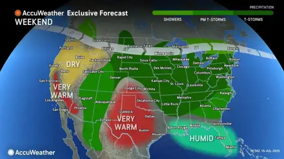
Some relief from the heat and humidity will come as a pair of cold fronts cross the region, bringing with them another round of scattered showers and storms Thursday, followed by a spectacular start to a summer weekend in the Buffalo-Niagara region.
National Weather Service forecasters promise cooler and notably drier air conditions across the region for Friday and Saturday.
While showers and thunderstorms will be in the forecast for the region Thursday afternoon, NWS meteorologist Phillip Pandolfo tells WBEN, "The stronger thunderstorm activity is expected to be well east of Buffalo, and even Rochester."
It will be very windy for a period of time Thursday, however, and a Beach Hazards Statement has been issues for the Lake Erie shoreline through the day. "Could be seeing gusts up to 45 mph for a brief window between the late morning and the afternoon today," Pandolfo cautions.
The noted breakaway from heat and humidity will be noticeable beginning Thursday, Pandolfo promises. "We're only going to be looking at high temperatures in the low 80's around the Buffalo metro area today(Thursday)."
Much more comfortable conditions will then overspread the area tonight, with dewpoints falling off into the 50's, and low temps settling into the mid 50's to lower 60's in most places.
Relatively dry conditions are in the forecast Friday and into the weekend, with substantially cooler conditions too. Friday's high will be in the upper 70's and Saturday and Sunday will cap out at around the 80 degree mark.
 AccuWeather.com
BEACH HAZARDS STATEMENT IN EFFECT FROM 9 AM EDT THIS MORNING THROUGH THIS EVENING
* WHAT...Strong currents and dangerous swimming conditions expected.
* WHERE...Beaches of Northern Erie county.
* WHEN...From 9 AM EDT this morning through this evening.
* IMPACTS...Strong currents and dangerous swimming conditions.
PRECAUTIONARY/PREPAREDNESS ACTIONS...
Stay out of the water to avoid dangerous swimming conditions.


