


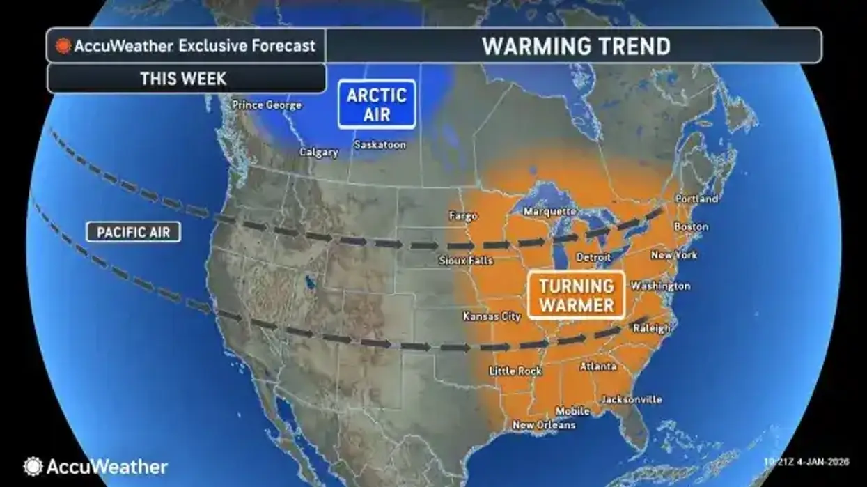
A brief burst of snow Monday morning will make way for a weekday warmup and a January thaw for the Buffalo-Niagara and Western New York region, National Weather Service forecasters say.
"It only last a few hours, and we're only expecting an inch or so of accumulation," NWS meteorologist Jon Hitchcock tells WBEN. "The timing isn't the greatest for the morning drive."
The quick burst of snow will be short-lived and will set the stage for an anticipated warmup for the region.
"We have a pretty extended January thaw coming," Hitchcock notes. "Tomorrow will be in the low 40's...Wednesday mid to upper 30's for a high...Thursday back well into the 40's...Friday and Saturday, at least into the 40's, and maybe even the 50's."
The midweek period will also feature some sporadic rain showers, at times mixed with snow.
"Right now it doesn't look like a ton of rain, so it looks like we should be able to handle the snow melt," Hitchcock says.
Colder air will arrive Sunday with snow showers.


