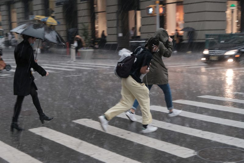

NEW YORK (WCBS 880) — Powerful thunderstorms dumped hail on parts of the Tri-State area on Friday afternoon as some areas in New York City also reported flooding.
The National Weather Service issued a severe thunderstorm watch for much of New York City and parts of New Jersey and Connecticut until 8 p.m.
Friday.
The warning means quarter-sized hail would be possible and wind gusts of up to 60 mph should be expected.
Just after 4 p.m., residents in New York and New Jersey began posting videos of the storm to social media.
One user in Astoria, Queens showed footage of pea-sized hail bouncing on the street and sidewalks.
Melissa Mark-Viverito, former NYC Council Speaker, also posted photos of a backyard in New Jersey that looked to be covered in a thin layer of snow as hail settled on the grass.
Meanwhile, 1010 WINS traffic reporter Greg Rice posted footage of flooding on the eastbound lanes of the Brooklyn-Queens Expressway, and noted that lanes were not closed.
Shortly after 5:30 p.m., more photos were posted to social media showing the storm moving out of the area.
According to WCBS 880 chief meteorologist Craig Allen, showers and thunderstorms can be expected throughout most of the area for the remainder of the day, and some will be accompanied by downpours.
Showers are supposed to let up around 8 p.m. Friday and weather conditions will be “fair and mild,” according to Allen.
The weekend is expected to be much nicer with Saturday and Sunday both expected to be mostly sunny with a high of nearly 90 degrees.
Stay informed, stay connected — follow WCBS 880 on Facebook and Twitter. Listen live to WCBS 880 Newsradio.