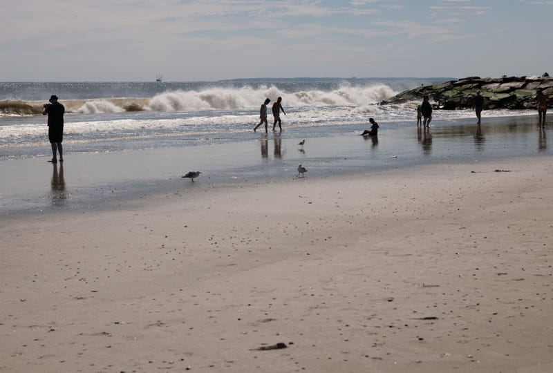

NEW YORK (1010 WINS/WCBS 880) — Rain is in the forecast for the New York City area over the weekend, and the water impacts of Hurricane Ernesto passing offshore to the east has raised concerns about rip currents and dangerous conditions, prompting officials to close ocean-facing city beaches to swimming.
All beaches in Brooklyn, Queens and Jacob Riis Beach are closed to swimming on Saturday and Sunday, NYC Parks said. The National Weather Service predicts dangerous rip current threats and possible ocean swells of up to 6 feet, affecting all Atlantic Ocean beaches.
Rough surf and rip currents are also expected on the Jersey Shore and on the south shore of Long Island through the weekend, according to AccuWeather.
“Life-threatening rip currents are likely today through the weekend as Ernesto passes well offshore,” the NWS wrote on X Friday. “Anyone visiting the beaches should stay out of the surf. Rip currents can sweep even the best swimmers away from shore into deeper water.”
NYC Parks Commissioner Sue Donoghue said that lifeguards will still be on duty, patrolling the beaches, but encouraged New Yorkers to prioritize their lives and not ignore the directive. Parks enforcement staff will be along the shoreline to enforce the swimming ban, and FDNY units will be out to help keep people safe.
“New Yorkers should know the ocean is more powerful than you are, particularly this weekend,” Mayor Eric Adams said. “Do not risk your life, or the lives of first responders, by swimming while our beaches are closed.”
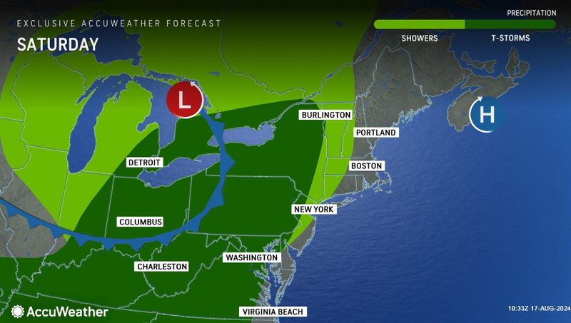
Saturday is supposed to maintain a comfortable temperature with an afternoon high of 82. It will be more humid, with clouds and some sun, but AccuWeather said that a couple of showers will come around later, especially north and west of the city.
The evening will be more cloudy and muggy with some showers and a thunderstorm, bringing the temperature down to a low of 72.
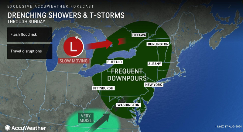
Sunday will be slightly cooler with temperatures topping out at 78, and a mostly cloudy, breezy and humid day will yield showers and a few heavier thunderstorms that could bring flooding downpours, AccuWeather said.
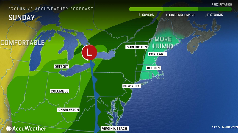
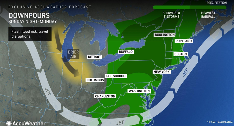
“Locally heavy rainfall with showers as well as potential thunderstorms are possible Sunday,” the NWS said. “The greatest chances for rain are Sunday afternoon into Sunday night. Flash flooding may be possible.”
The work week will kick off with a humid and cloudy Monday, though there will be a few sunny intervals and a high of 81. Some lingering showers and a thunderstorm, mainly in the afternoon, are expected.
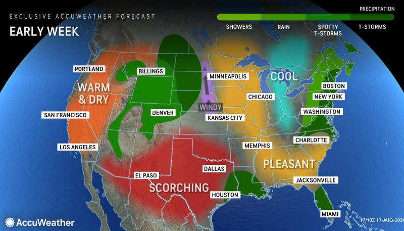
Rain may stick around through Tuesday morning, but otherwise, AccuWeather said the day should yield brightening skies and lower humidity. Tuesday will be cooler, with a high of 74.
Dry and comfortable weather will persist through the mid-week with more sunshine and temperatures in the mid-70s, according to AccuWeather.