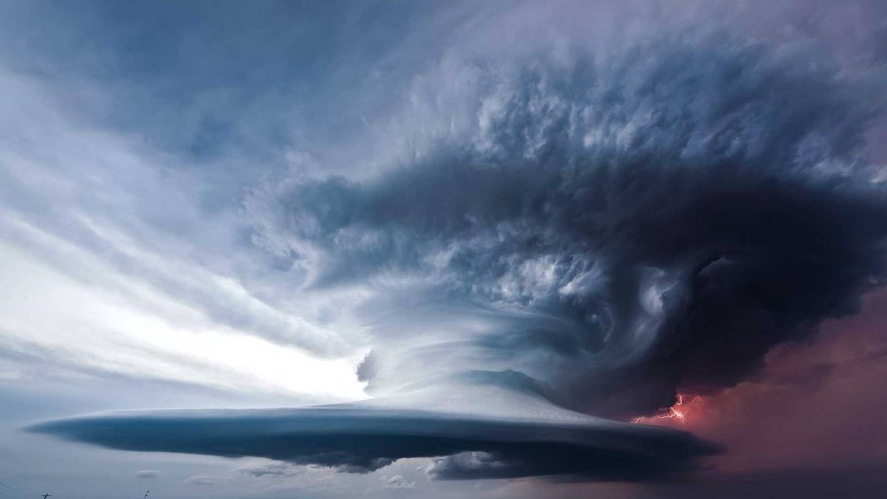
Get out your dictionary. Tonight's storms could produce something called a "derecho". A what?
The Weather Channel, in a web post earlier Friday, said parts of North Dakota, Wisconsin, Michigan's Upper Peninsula and especially Minnesota, is in line to see a derecho which caught our eye.
According to the National Weather Service, a derecho is this:
"A widespread, long-lived wind storm that is associated with a band of rapidly moving showers or thunderstorms. Although a derecho can produce destruction similar to the strength of tornadoes, the damage typically is directed in one direction along a relatively straight swath. As a result, the term "straight-line wind damage" sometimes is used to describe derecho damage. By definition, if the wind damage swath extends more than 240 miles and includes wind gusts of at least 58 mph or greater along most of its length, then the event may be classified as a derecho."
According to the NWS, most of Minnesota is good for one derecho about every two years, so they are relatively rare weather events. Like tornadoes, they are a bit more common in Oklahoma, Kansas, Missouri and Arkansas, and also just to our southeast in Illinois and Indiana.
To form, they require stronger winds aloft and hot and muggy conditions in an area where the atmosphere is "capped" (a thin layer of warmer air in the low to mid levels that can inhibit upward vertical motion needed for thunderstorm updrafts). The NWS says they can be much harder to forecast because of the combination of ingredients they form in.
Now it looks like that environment is happening through Northern Minnesota later tonight, were in places like St. Cloud where it is already over 90 degrees with ultra-tropical dew points above 70 degrees.
Of course straight line winds are not new to thunderstorms in Minnesota, but we haven't seen the term derecho used before. Meteorologist Heather Tesch, in a video on Weather.com, used the term to describe what was in store for these overnight storms.
She goes on to say "this could be a rough evening and overnight across the Northern Plains. We are very concerned about the threat for damaging winds."
Closer to the metro area, storms are not expected to be as severe, but there is a lot of uncertainty as to where the storms will line up.
Severe weather appears likely across portions of the region tonight. However, there remains uncertainty on the exact timing and location/track of storms tonight. To help visualize the uncertainty, here's a look at 15 different model forecasts for 2 AM tonight. #mnwx #wiwx pic.twitter.com/IJU31MED9B
— NWS Twin Cities (@NWSTwinCities) July 17, 2020Eric Ahasic, a meteorologist at the National Weather Service in Chanhassan, tells WCCO , “What makes this event kind of more dangerous is the fact that it’s going to be overnight. Thunderstorms really won’t form until this evening across North Dakota. It won’t really get to the far reaches of western Minnesota until 8-9 p.m. tonight and obviously it takes time to head east from there.”
RELATED: Severe weather followed by oppressive heat, humidity on tap for Minnesota starting Friday night.
Keep your eyes and ears open for weather while you're sleeping tonight. We'll have updates all afternoon and evening on News Talk 830 WCCO.


