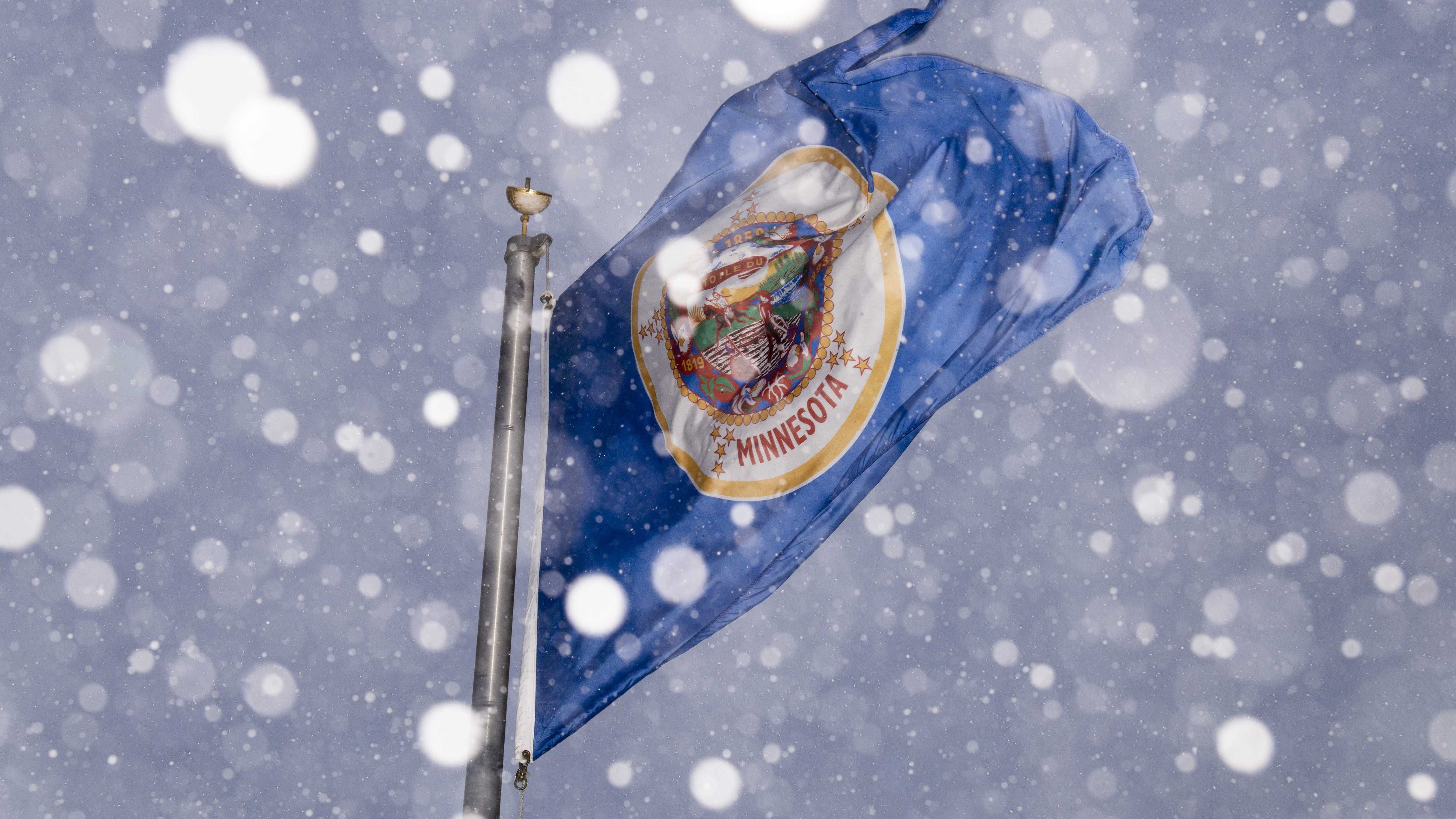
No, you aren’t going crazy from all the shoveling and snow-blowing, this snowstorm is lasting longer than typical, according to the National Weather Service.
The current weather system dropping rain, sleet, ice, and snow across the state has been suspended over the Twin Cities and much of Minnesota for several days.
While the duration of the storm is not unheard of, it’s certainly not the norm, according to National Weather Service meteorologist Tyler Hausenstein.
“This might be something that we see maybe every two to three years,” Hausenstein said.
Hausenstein explained that the storm is doing what’s called “occluding,” where it wraps in on itself, slowing its movement and keeping it over an area for longer.
More snow is expected throughout the day tomorrow, with around an inch or two accumulating, but it should be much calmer than today.
“It’s going to be more gradual overall,” Hausenstein said, adding, “we’re not going to see any of those snowglobe-like big flakes that are falling down.”
It’s expected to get much colder over the next several days, with highs dropping into the teens over the weekend and the potential for our first negative temperatures at the beginning of next week. Hausenstein said that the low temps could last for a while, and the current storm is to blame.