A late March storm is not unusual in Minnesota to be sure.
It’s also not a welcome sight for those ready for warmer weather.
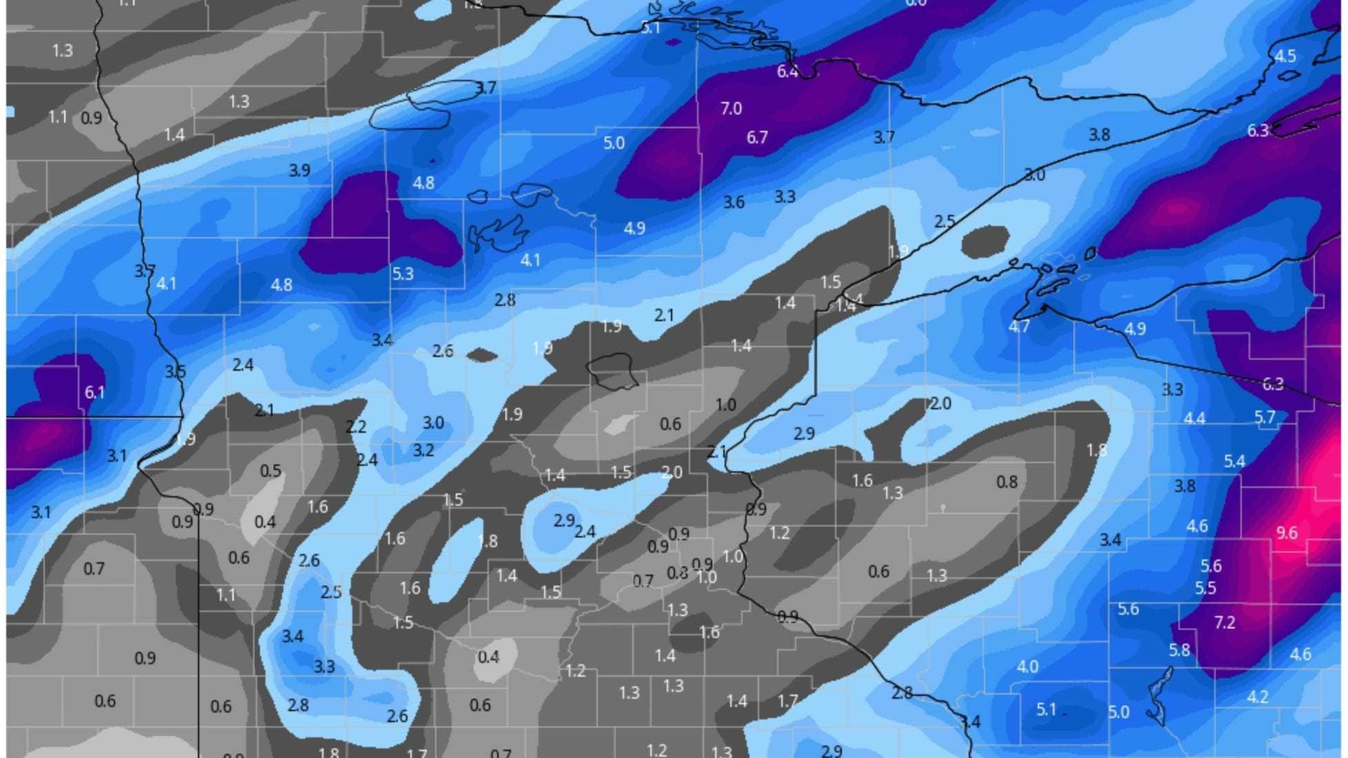
Minnesota commuters woke up Wednesday to slick roads, ice, sleet, and in some parts of the state enough snow to cause issues.
WCCO Radio’s Paul Douglas told Vineeta Sawkar that this is part of the deal in Minnesota.
“March is erratic,” says Douglas. “Sometimes we fast forward into spring. Sometimes we limp into spring.
For the rest of Wednesday, Douglas says it will be a little bit of everything.
“Today’s going to be a mixed bag, a conglomeration, a smorgasbord of rain, little bit of sleet, freezing rain and raid freezing on contact which is insidious. Temperatures will be in the mid-30s most of the day with a raw north wind. Even though the sun won’t be out, some of the solar radiation will penetrate the clouds and keep the freeways and major highways wet most of today. You go north, far north metro, yes, maybe an inch or two of slush. This evening a changeover to light snow but most of the moisture will be out of here. Maybe a coating of slush.”
There are several reports of slick roads all across Minnesota. The State Patrol is recommending you take it slow. In parts of northwest Minnesota, patrols have had to respond to several cars and semis in ditches.
The Twin Cities office of the National Weather Service says any snow will end around sunrise in western Wisconsin Thursday, followed by breezy winds and cool temperatures. We warm slightly into the weekend with another chance for scattered showers on Saturday.
Douglas also blames the Pacific Ocean phenomenon of La Nina for our long winter this year.
“We have this La Nina signal in the Pacific,” explains Douglas. “It’s colder than normal in the equatorial waters of the Pacific Ocean. That helps to nudge the jet stream, the storm track, and usually La Nina winters tend to be normal. We just had a colder than normal winter, coldest in eight years. Cold air, instead of retreating rapidly into Canada, just hangs around longer.”
Douglas says hang on, it will get better.
“I see a couple of 50’s next week, I see 60’s coming the second week of April. We’re going to have a nice long spring season.”