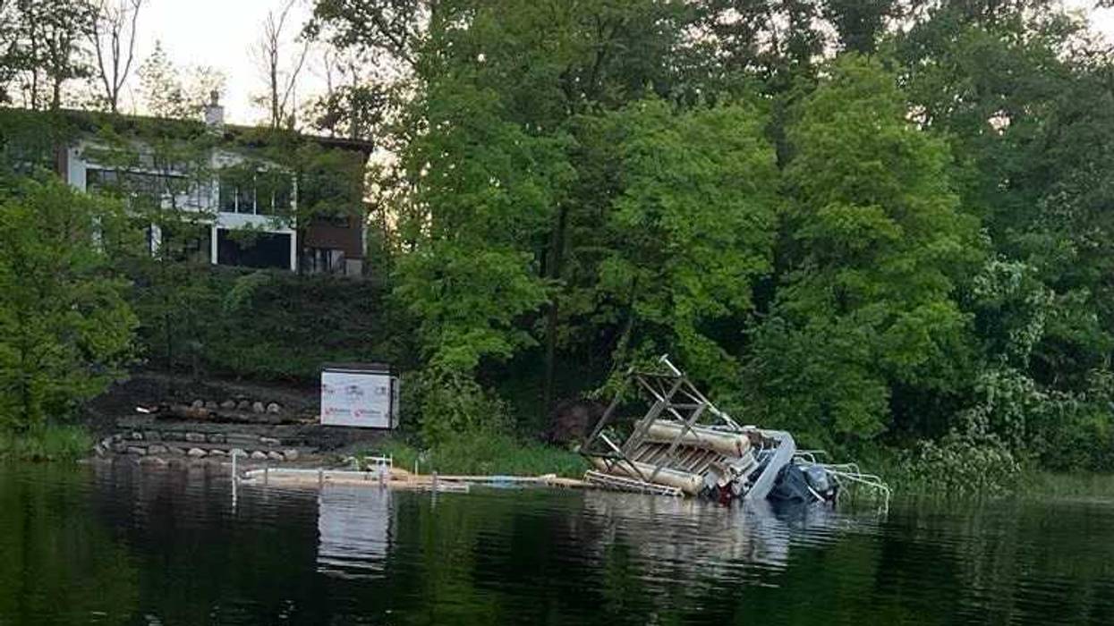
Severe storms yesterday left quite a mess for some folks in the Cuyuna area up in Crow Wing County and other spots in Northern Minnesota.
Lanae Paaverud tells WCCO Radio's Morning News with Vineeta Sawkar about what she and many of her neighbors around Cedar Lake are dealing with Thursday morning.
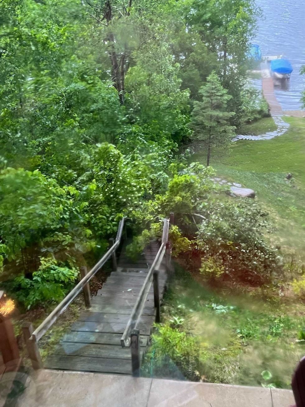
"The top of the 40 foot tree is now across our back steps and there were other trees that were down," Paaverud explains. "But some of our neighbors got hit pretty bad on the lake where they've got pontoons in lifts that are completely upside down now, along with trees on the property, blown over, snapped over and so forth."
Paaverud says she hasn't heard of anyone in the area being injured during yesterday's storms.
"Up north, all heck broke loose with a few confirmed tornado touchdowns, straight-line winds, maybe in excess of 80 or 90 miles an hour," WCCO Meteorologist Paul Douglas said about the storms. "I saw hail as big as tennis ball size."
Douglas says there were confirmed tornado touchdowns near Deerwood, Camp Ripley and Little Falls and near St. Cloud in Holdinford. He adds that straight-line hit a large swath of the Whitefish Chain and Pequot Lakes area as well, with boats and docks getting flipped and damaged.
The metro area didn't see anything like that Wednesday night, and Douglas says that was due to the rain earlier in the day.
"That swarm of storms that came through the metro Wednesday morning actually prevented a widespread severe weather outbreak, at least in the twin cities in southern Minnesota. Later in the day, it cooled, the air made the atmosphere more stable."
Douglas says Thursday and Friday will be nice, but more rain is coming in over the weekend.
"Back into the soup with showers and storms coming in from the south, from Iowa, by midday Saturday into Saturday night," Douglas says. "It may brighten up a little bit on Sunday, the drier day with highs in the upper eighties. We could top 90 almost every day next week."
"The top of the 40 foot tree is now across our back steps and there were other trees that were down"
