It’s definitely been a sizzling summer so far in Minnesota and across most of the Upper Midwest. Temperatures in June were the second hottest on record in the Twin Cities.
While July has been relatively normal so far, the next few days return some of the extreme heat we did experience in June.
The National Weather Service has now issued an Excessive Heat Watch for Tuesday and Wednesday for much of Minnesota. High dew points will create dangerous levels of heat both days. Don’t expect much relief at night either, with the humidity and temp staying near dangerous levels.
EXCESSIVE HEAT WATCH REMAINS IN EFFECT FROM TUESDAY AFTERNOON THROUGH WEDNESDAY EVENING...
* WHAT...Dangerously hot conditions with heat index values up to 105 possible Tuesday and Wednesday afternoon.
* WHERE...Portions of central, east central, south central, southwest and west central Minnesota.
* WHEN...From Tuesday afternoon through Wednesday evening.
* IMPACTS...Extreme heat and humidity will significantly increase the potential for heat related illnesses, particularly for those working or participating in outdoor activities.
* ADDITIONAL DETAILS...Low temperatures in the low to mid 70s Tuesday night will allow for little relief from the heat leading into Wednesday, with the warmest temperatures expected Wednesday afternoon.
The Excessive Heat Watch stretches from Morris and St. Cloud, south to the Iowa border, but it does not include southeast Minnesota from Red Wing to Rochester. There is also a Heat Advisory for far southwestern Minnesota from Marshall down to Worthington.
In the Twin Cities, highs Monday should reach 93, with 94 expected Tuesday and 96 on Wednesday. The heat indexes on Tuesday and Wednesday should be around 100.
Theirs is a chance of some severe weather Monday night. Most of that is expected to stay in central and northern Minnesota. The storm prediction center says the Twin Cities are in a slight risk area. As you get north of the Twin Cities however, things get a little iffy. North-central Minnesota, from approximately the Brainerd area east to Duluth are in a marginal risk area for supercell thunderstorms. The main risks are for hail and strong winds. Most of the northern half of Minnesota is under a slight risk of these potential storms.
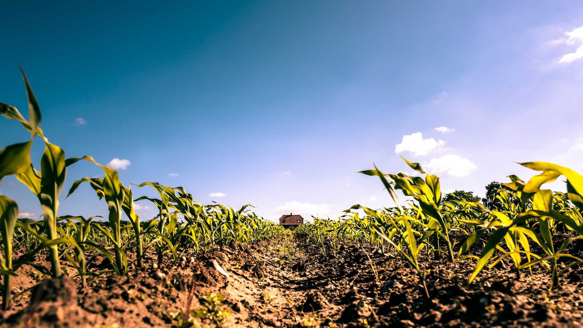
The rain would be a welcome sight however. It has also been incredibly dry. Most of Minnesota is now in severe drought with portions of north-central Minnesota in extreme drought. At this point, Minnesota and the Dakotas are by far the driest of the Upper Midwestern states.
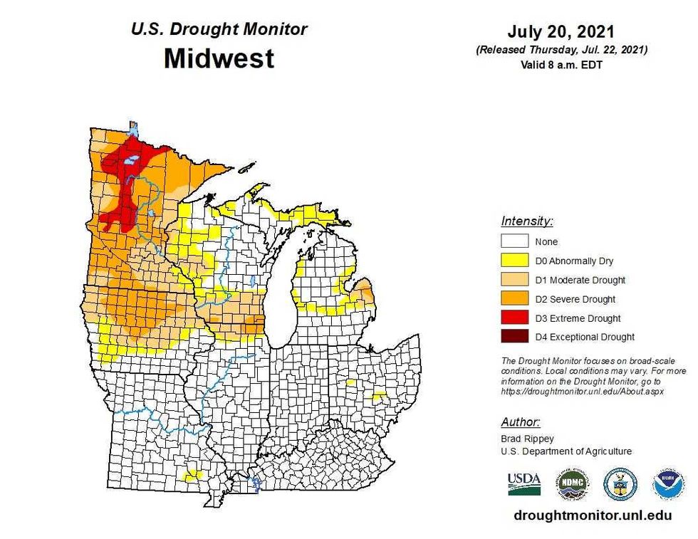 July 20th Upper Midwest Drought MonitorUS Department of Agriculture
The good news here is that this will be a fast hot flash for Minnesota with high temperatures dropping back to the mid-80’s on Thursday and Friday.
Climatologist and author Dr. Mark Seeley from the University of Minnesota told WCCO’s Paul and Jordana that this hot, dry summer is likely to last well into the fall which is bad news for agriculture across the state.
“We can’t paint a rosy picture when there’s no rosy picture to paint,” Seeley says. “Most of the indicators say it’s going to get worse before it gets better and it may even go through October of this year. Right now it looks like it’s (the drought) is going to be substantial.”