Winter storm arrives in Minnesota with several inches of snow expected Thursday in the Twin Cities
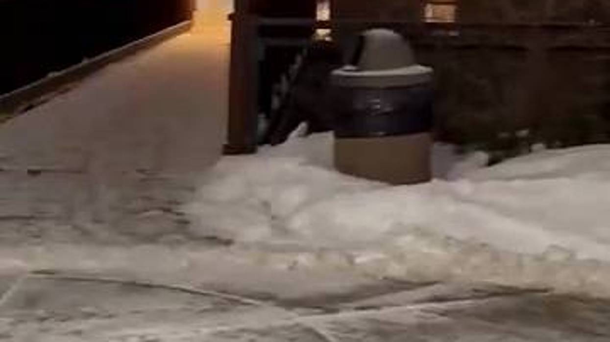
Snow falling at rates of up to a half-inch per hour will make the morning commute a tricky one Thursday as the first major winter storm hits the Twin Cities with 5 to 7 inches of snow falling and higher totals possible in certain areas north and east of the metro.
"Be careful and take it easy on the roads," said WCCO TV Chief Meteorologist Chris Shaffer. "Do expect a long and slow morning commute."
Snow arrived in western Minnesota around midnight Thursday and began falling in the Twin Cities around 2 a.m. That snowfall was expected to be the heaviest through the morning commute, lasting into the evening hours.
"We will expect some lesser amounts in farther western and southern Minnesota," said National Weather Service Meteorologist Joe Calderone. "The problem there is that wind speeds will be a little bit higher in areas south and west of Montevideo, New Ulm, and Mankato. We're talking in the 30 to 40 mile per hour range. Snow amounts down there will be less, but more of the issue will be blowing snow and visibility restrictions."
MnDOT crews will be busy clearing roads throughout the day as drivers face difficult conditions.
"If you can stay home, that's the best way to avoid any issues on the road," said MnDOT spokesperson Anne Meyer. "If you do have to drive, you have to be extra responsible and that means slowing down, giving yourself extra space between yourself and other drivers, and give yourself extra time. It's going to be slow going."
Thursday's winter storm comes following a winter of heat waves and minimal snow last year across much of Minnesota. According to the Minnesota DNR, most areas in the state had received less than 50% of their normal snowfall through the end of February, and had observed 30-70 days since December 1 with no snow on the ground.
"We're going to be somewhere in-between the last two winters where we had minimal snow and two years ago where we had between 80 and 90 inches of snow," added Calderone. "Now that we're into mid-late December, this is where we can expect to be having these more impactful winter systems."
While several inches of snow will fall Thursday, there's waning optimism that it will stick around for the holidays, specifically Christmas Day.
"We're going to have a warm-up, so whatever snow we get today through tonight is going to struggle to hold on. So it is still up in the air that there is still that potential that we end up with a brown Christmas."
A winter storm warning is in effect for the Twin Cities and surrounding areas until 12 a.m. Friday.