


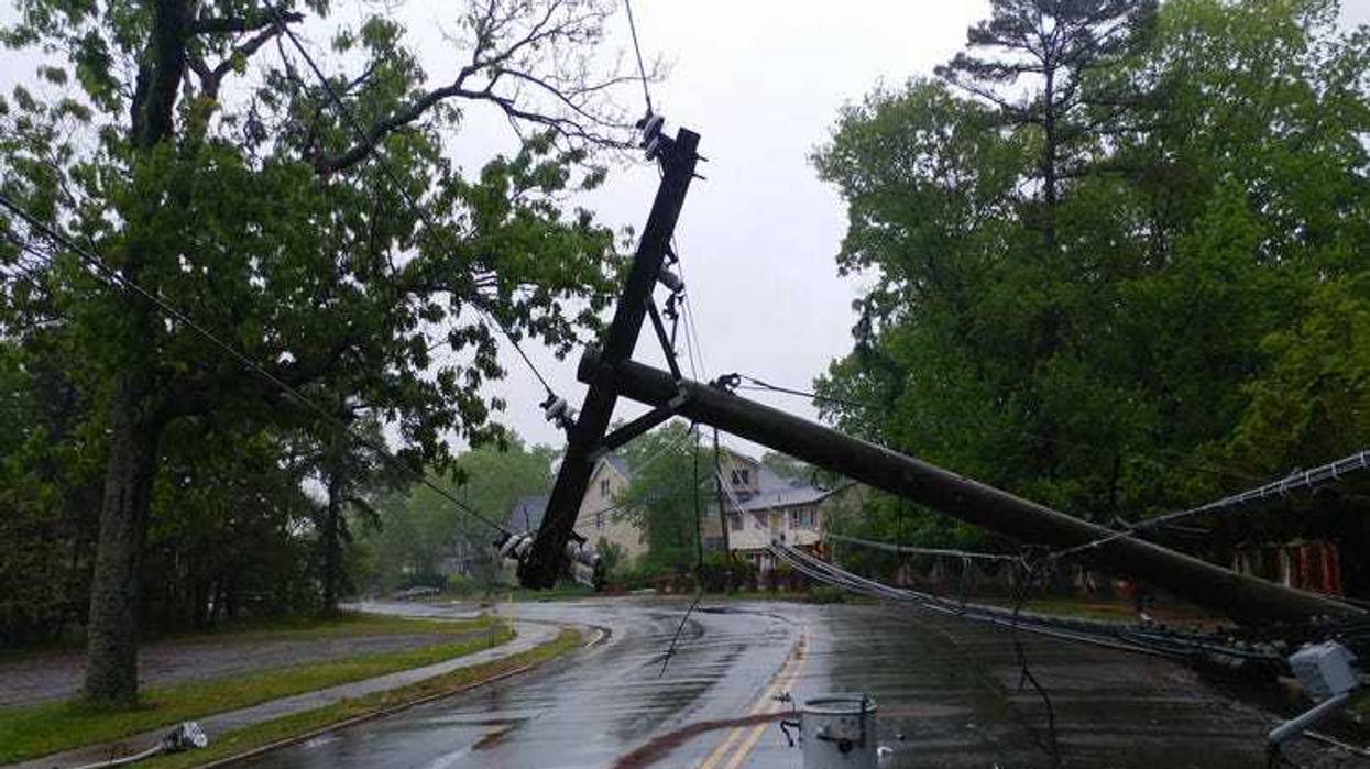
Hurricane Beryl made landfall outside Houston, Texas, on Monday at around 4 a.m. The storm brought with it sustained winds of 75 mph and heavy rain, resulting in power loss for nearly 1 million.
According to state officials, as the storm has engulfed the city, more than 1 million people have been left without electricity.
Still, the storm is not quite at the strength it was when it pummeled through the Caribbean as a Category 5 hurricane. According to the National Weather Service, the storm made landfall as a Category 1 hurricane on Monday.
The NWS also shared that the storm was moving northwest at around 10 mph when it made landfall near the coastal town of Matagorda, approximately 95 miles south of Houston.
The Storm Prediction Center issued a tornado watch for more than 7 million people as high winds continued to rip through the area.
As it continues to move inland, the storm is expected to be downgraded to a tropical storm and then to a depression. However, Jack Beven, a senior hurricane specialist at the National Hurricane Center, warns that won’t be all.
“Beryl’s moving inland, but this is not the end of the story yet,” Beven shared.
The storm is expected to move inland along Eastern Texas, into the Mississippi Valley and the Ohio Valley.
Texas Lieutenant Governor Dan Patrick shared that it was concerning to see so few heading the state’s warning to leave before the storm’s arrival.
“One of the things that kind of triggers our concern a little bit, we’ve looked at all of the roads leaving the coast, and the maps are still green. So we don’t see many people leaving,” he said.
As CenterPoint Energy warns of widespread power outages, Texas also faces hot weather, with coastal areas of the state forecasted to be above 90 degrees Fahrenheit in the coming days.
So far, more than 120 counties have been placed under disaster declaration as Patrick warns that Beryl is a “serious threat to Texans.”


