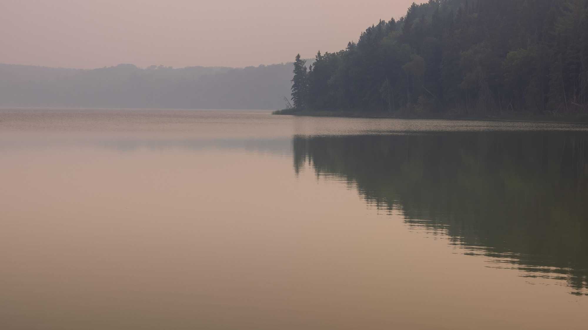
It was really awful in the Twin Cities and over a large portion of Minnesota Wednesday. You couldn't go outside without noticing a smoky haze, a sort of 'burnt' smell in the air, and many people experienced coughing and difficulty breathing.
WCCO Chief Meteorologist Paul Douglas says it is the Canadian fires again. He says the fires in Canada are now burning an area approximately the size of Denmark.
That meant Minnesota has extremely unhealthy air to deal with with winds pushing that acrid smoke south. And it was nearly on par with what shut down the east coast last week.
"It's not quite as bad," says Douglas on the WCCO Morning News with Vineeta Sawkar. "In New York, the AQI (Air Quality Index) was up around 400 which is toxic. I mean, really hazardous. We were up in the danger zone, the unhealthy red zone where everybody is impacted. Oftentimes they say, 'well, it's for people with respiratory issues, people with heart conditions, older people, kids exercising outside.' But yesterday was a rare day in that it was up in the 200s, even up around 300. So that's bad air."
AQI readings above 200 are considered sufficiently hazardous that outdoor activities are discouraged and that happened across the Twin Cities. And that meant that some of the worst air on the planet, literally the entire planet, was over Minnesota Wednesday. Six of the top 15 polluted cities on Earth Wednesday were in Minnesota, which is basically unprecendented.
"The worst of the pollution with that plume is sailing to Chicago and Detroit," Douglas explained. "The visibilities have improved. It's not quite as bad out there today. We still have the air quality alert though, in effect through the morning hours tomorrow (Friday) for much of central and southern Minnesota and all of Wisconsin."
You might notice that the air quality is already improving over the northern third of the state as the winds turn around to the northeast.
"I think we'll get a little surge of cleaner air filtering southward out of Canada. And people are saying, 'well, what about the weekend, Paul, what about next week with the smoke?' The reality is it's chaos theory. You get beyond about 24 hours and good luck predicting how these smoke plumes, these rivers of smoke, will curl and track down wind from fires hundreds of miles away. It depends on whether the fires expand or contract. Whether lightning ignites new fires. How good a job firefighters do tamping down the fires that are already in progress. Things that we really can't load into the weather models."
Wednesday was the 13th Air Quality Alert this year in the metro. Statewide we've had 18 AQAs. The record is 20 in 2021, and Douglas says we should easily "blow that away."
* ADDITIONAL DETAILS...Smoke from Canadian wildfires has settled across central Minnesota this afternoon. AQI observations are in the Red (Unhealthy for Everybody) category across the alert area and will continue to be until at least Thursday morning. Smoke will gradually dissipate across the area Thursday - but may be slower to clear in the Minnesota and Mississippi River Valleys. The alert had been extended until Friday morning but has since been cancelled.
PRECAUTIONARY/PREPAREDNESS ACTIONS
The general public should limit prolonged or heavy exertion.Sensitive groups, such as people with lung disease (including asthma), heart disease, and children and older adults, should avoid prolonged or heavy exertion. Reduce or eliminate activities that contribute to air pollution, such as outdoor burning, and use of residential wood burning devices. Reduce vehicle trips and vehicle idling as much as possible. Keep windows closed overnight to prevent smoke from getting indoors.
FORECAST
Looking out about 24 hours Douglas says he does see some slight improvement and even the potential for some much-needed rain.
"It is going to cool off a little bit. Near 80 today and tomorrow, and there will be some murky sunshine out there both days and the on again off again, showers are now on again for the weekend. The models hinting at a few afternoon thunderstorms, Saturday and Sunday. Most of the weekend dry and it should be in the 80s, fairly lake worthy. Keep an eye out late in the afternoon. A couple of pop up storms."
There is an increasing drought across the state which Douglas says will only get worse.
"The maps look more like July and again, pick your poison. We could be tracking hail and flooding and tornadic super cell thunderstorms. I know the smoke is a huge annoyance and I feel bad for all the activities being postponed and cancelled. Hopefully it's not gonna be like this all summer."
Douglas also adds that part of the reason for our stangnant weather is a very early El Nino.
"This warm phase of the Pacific, the winds over much of the northern U.S. and Canada have been fairly light and stagnant and we just haven't gotten the frequent rains, the frontal passages, the storms we normally do in early summer," he says. "Everything's kind of on hold. Big storms on the east coast, big storms on the west coast, stagnant and smoky for central Canada and the north central U.S. This pattern can't hang on all summer. I doubt it will. At some point it will change. I just don't see it looking out the next week to 10 days, but we'll keep our fingers crossed."
THURSDAY: Partly sunny, smoky. High 82.
FRIDAY: Feels cooler with smoked sunshine lingering. Wake up 60. High 80, low 60.
SATURDAY: Warm sunshine, some storms far western Minnesota. High 89, low 65.
SUNDAY: Hot, murky sunshine. High 90, low 68.
MONDAY: Sunny and hot. High 90, low 68.