


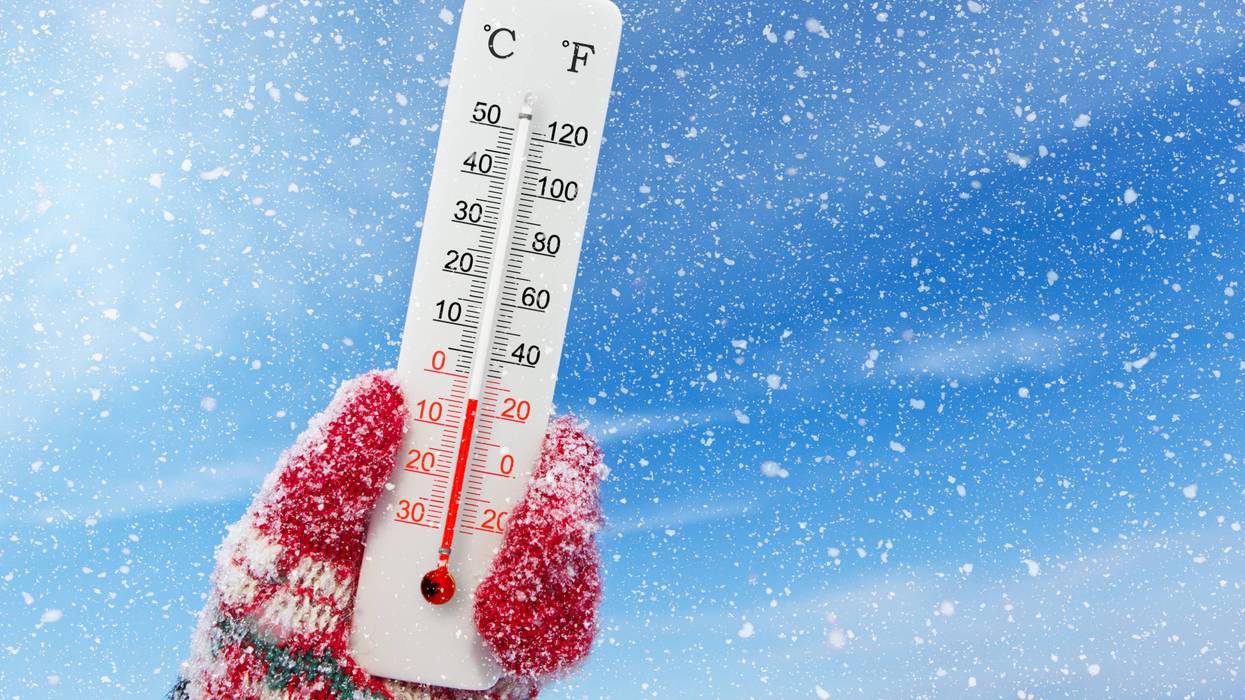
"Brrrr!" may not be strong enough for what lies in store over the next few days in Minnesota, and really across the entire Midwest.
Gone are the days of the "Wind Chill Warning" and instead it starts with an "Extreme Cold Watch" Thursday evening. That stays in effect through midday Saturday. And this is going to be a legitimately cold stretch of weather, even for Minnesota.
There is already a Cold Weather Advisory for much of northern Minnesota, and an Extreme Cold Warning for far northern Minnesota along the Canadian border.
WCCO-TV Chief Meteorologist Chris Shaffer says get ready for bitter, bitter cold.
"It could be dangerously cold with or without the wind, essentially," Shaffer says. "So it's just a safety precaution and do know that the main concern is the feel factor, and you could get frostbite in 10 minutes or less. Specifically during those times when it gets to 30 below or colder, whether that's the air temperature or the wind chill. And we will be in that zone specifically Friday morning."
As Shaffer alluded to, Friday is going to be the worst of it. But before that, it's nearly balmy. Expect temperatures in the 20s on Wednesday (and yes, that's balmy all things considered) with a chance for some snow. There is a Winter Weather Advisory for far southwest Minnesota where winds will really whip any snow around, causing some whiteout conditions.
"Snow will be coming through late this morning, pushing toward the drive home into the early evening possibly," Shaffer told Vineeta Sawkar on the WCCO Morning News. "It is going to be very light. We may end up with about 1 inch."
The issue is the snow will be light, fluffy, and powdery so the wind is going to pick up during the afternoon from the northwest 10 to 15 mph, and that's going to blow that snow around with ease.
"So just be mindful there could be a few slick areas where that snow may accumulate a bit because of that wind," says Shaffer.
Overnight, skies will be mostly cloudy with a low of 5. On Thursday, expect a chilly high of 8 above, with wind picking up from the northwest ushering in a major Arctic blast.
"The temperatures will plummet (Thursday) night," Shaffer warns. "By the time you wake up Friday morning, air temperature around 16 below in the Twin Cities, likely in the 20 some below range outstate. And it will be windy still, so it'll probably feel like 38 below in the Twin Cities. Could feel as cold as 50 below in places like Bemidji up in northern Minnesota."
The Extreme Cold Watch that will flip to a warning as those temperatures drop. And drop they will on Friday.
"Friday will be the worst day, a high of 7 below," Shaffer says. "That's our high. And then we do warm to about zero on Saturday and slowly climb out of this. 4 Sunday, 14 Monday. We could be up around 20 next Tuesday."
Bemidji will have a high of 13 below Friday, with lows dropping close to -30 (just air temperature). Wind chill values will become extremely dangerous (-50) in the northern part of the state.
EXTREME COLD WATCH THURSDAY THROUGH SATURDAY
* WHAT...Dangerously cold wind chills as low as 45 below possible.
* WHERE...Portions of central, east central, south central, southeast, southwest, and west central Minnesota and northwest and west central Wisconsin.
* WHEN...From Thursday evening through Saturday morning.
* IMPACTS...The dangerously cold wind chills as low as 45 below zero could cause frostbite on exposed skin in as little as 10 minutes.
Other parts of the U.S. also dealing with winter weather
Much of the country is getting a blast of winter in different ways.
In addition to the warnings about cold in the Dakotas, Minnesota and Wisconsin, there is a Wind Advisory for parts of Iowa and Nebraska, and a massive Winter Weather Watch for Texas, Oklahoma, Arkansas, Missouri, and even into Tennessee, Alabama and Mississippi.
That includes some warnings for ice storms. Shaffer says he'll take the cold over that.
"I guess we could take that over what's going to happen down in the southern part of the country," he says. "They have a winter storm watch down there. A lot of states could be dealing with freezing rain and sleet. Just a nasty storm. We're going to see a lot of power outages and all sorts of problems from Texas and Oklahoma, Louisiana down to the south."
Wednesday’s forecast has the storm stretching from New Mexico to New England, threatening at least 250 million people.
“I think people are underestimating just how bad it’s going to be,” said former National Oceanic and Atmospheric Administration chief scientist Ryan Maue, now a private meteorologist.
The polar vortex, a patch of bitter cold air that often stays penned up in northern Canada and Alaska, is being elongated by a wave in the upper atmosphere that goes back to a relatively ice-free part of the Arctic and snow-buried Siberia. As the bone-chilling temperatures sweep through the U.S., they’ll meet with moisture from off California and the Gulf of Mexico to set up crippling ice and snow in many areas.
FORECAST
WEDNESDAY: Light snow (around 1”). High: 23. NW 10-15 mph.
WEDNESDAY NIGHT: Mostly cloudy. Low: 5. NW wind 5-10 mph.
THURSDAY: Partly cloudy. High: 8. NW wind 10-15 mph.
Extreme Cold Watch begins at 6:00 p.m. Thursday and lasts through through noon Saturday.
Average high and low: 23/8


