Our Friday night winter weather is taking a turn towards the severe now. The National Weather Service says expect severe winds of up to 40-50 mph overnight Friday, with several inches of snow. And what that means is they’re issuing a Blizzard Warning for all of central and southwestern Minnesota from 9:00 p.m. Friday through 4:00 a.m. Saturday.
WCCO Chief Meteorologist Paul Douglas says it is the wind that will be the main concern.
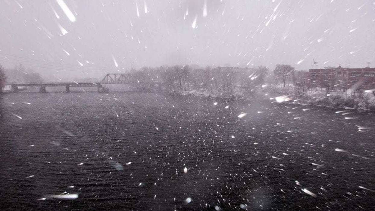
“Never tell a Minnesotan not to drive, but if you don’t have to drive tonight you might want to stay put and not tempt fate,” says Douglas. “Whiteout conditions likely, a burst of snow falling at the rate of one to two inches an hour for the better part of eight hours.”
Most spots will be between four and eight inches according to Douglas, but up to ten inches can’t be ruled out for parts of the area. That includes even the downtowns of Minneapolis and St. Paul.
Fairly rare Blizzard Warning posted for the metro and most of southern third of MN. HRRR shows burst of heavy snow (1-2"/hour) and 40 mph winds starting around 7p at MSP.
— Paul Douglas (@pdouglasweather) March 31, 2023
5-8" expected, maybe 10" in a few spots. Over by breakfast Saturday. Welcome to a Top 5 Winter Snowfall 😳 pic.twitter.com/BPDGk4wZoG
Douglas adds that low visibilities and blowing snow will be the main concerns. If you want some good news, it will be warm enough this weekend to melt most of what falls.
This storm will also easily get us into the top five winter snowfall totals Douglas says. That will get us over 85 inches at MSP where official records are kept.
The Twin Cities office of the National Weather Service issued this update Friday afternoon:
Widespread precipitation will develop late this afternoon and transition to heavy snow from northwest to southeast this evening.
The snow could be very heavy at times with hourly rates of 1 to 2.5 inches per hour. Strong north winds will develop with the heavy snow to produce whiteout conditions over a wide swath from west central and southwest Minnesota to west central Wisconsin.
The worst conditions are expected between 9 PM and 4 AM, with snow and strong winds tapering off toward early Saturday morning.
Total snowfall amounts will range from 5 to 10 inches from west central and southwest Minnesota to west central Wisconsin, with 2 to 5 inches north of Glenwood and St Cloud, and along I-90. Locally higher amounts are possible if snowfall rates exceed 2 inches per hour.
A Blizzard Warning is in effect for a large area from west central and southwest Minnesota to west central Wisconsin. A Winter Storm Warning remains in effect north and south of the Blizzard Warning.