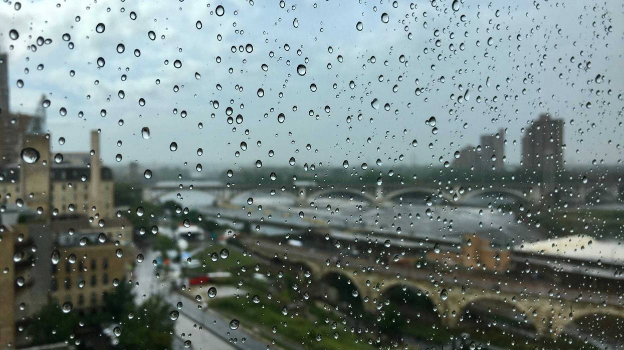
It's not going to be very summer-like in the few days prior to the unofficial kickoff to summer, Memorial Day weekend. But some much needed rain is forecast for central and southern Minnesota Monday and Tuesday - and it looks like it could be a soaker.
WCCO-TV Chief Meteorologist Chris Shaffer says it'll start Monday evening and continue into Tuesday.
"Tomorrow is the main rain day, it's just on and off rain, more on than off I think, and a high of 49," says Shaffer. "That's average for late March. Not mid-May. That's how cool it's going to be with this system. And it stays windy throughout the day too."
The average high this time of year in the Twin Cities is 70 so 49 is downright chilly.
Shaffer says the precipitation is coming up from the south and could put down some good amounts of rain.
"And if this pans out, southern Minnesota, you could see two to three inches of rain by Wednesday," says Shaffer on Monday's WCCO Morning News. "And here in the Twin Cities, we could see one to two inches of rain with lesser amounts the farther north. In fact, if you get up into northern Minnesota, you'll get shut out from the system."
Some clearing skies on the way for Wednesday with temperatures gradually creeping up to the 60s again by the weekend.
There's also a couple of Twins games that could be in jeopardy as they return home from a road trip. They are scheduled to play the Cleveland Guardians Monday night, Tuesday night, and Wednesday during the day.
The farther you are to the southwest, the sooner the rain will begin. Areas like Marshall, Redwood Falls, Fairmont, Mankato and Albert Lea have already seen some precipitation move into the area but the main event is still coming. It's expected to move slowly towards the Twin Cities area by later Monday night.
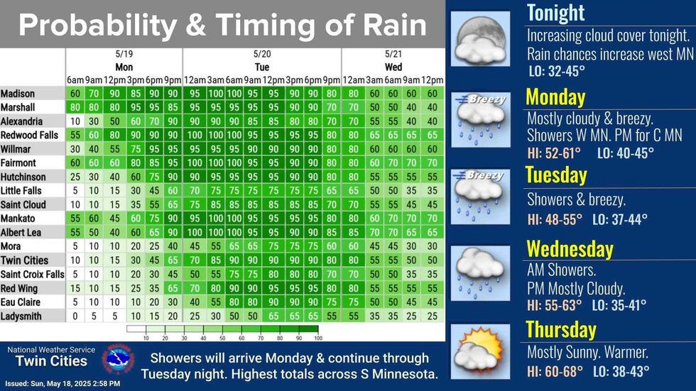 The timing and probability for rainfall over the next couple of days.(National Weather Service)
Shaffer says while it could be unpleasant with cool temps, wind and some sprinkles, Monday's game is probably safe. He says Tuesday looks nearly impossible to play at this point with skies clearing in time for Wednesday.
Forecast
Monday - Mostly clouy. High: 58. E 15-20 mph. Rain comes in later in the evening.
Tuesday - Rain likely. High: 50. E wind 10-20 mph.
Wednesday - Showers likely early then mostly cloudy. High 57. NE wind 10 mph.
Thursday - Mostly sunny. High 67. N-NW wind 5 to 10 mph.
Friday - Mostly sunny. High 67. N-NE wind 5 mph
Saturday - Mostly sunny. High 66. E wind 5 mph.