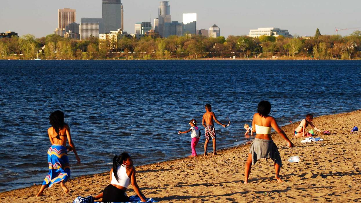
Another blast of summer heat is swarming the state the next couple of days.
"It's gonna feel like the 90s," warns WCCO-TV chief meteorologist Chris Shaffer. "The big day is tomorrow because we'll have some sunshine, it's gonna warm up to 91. We haven't been in the 90s in almost coming up on two weeks here, so we've kind of lost our sea legs with that heat feeling. But it's going to be humid as well, so it could feel like the upper 90s. That's right on the threshold of the National Weather Service issuing heat advisories and all that."
The heat and humidity is also coming with a dose of rain and thunderstorms. Both are likely later Thursday and throughout the day Friday.
Shaffer says the severe threat is pretty much gone however.
"Later on today, and this will be tomorrow too, we'll see thunderstorms fire up back in North Dakota," Shaffer explains. "They'll linger there for a while, and then they'll barrel across the state. Kind of like what happened yesterday morning when we had the rain. That's what I would expect. There is the possibility of some showers each of the next couple of mornings."
The National Weather Service, as Shaffer noted, has not issued a heat advisory like much of the state saw a few weeks ago. But they do say excessive heat is possible Friday afternoon with heat indices potentially around 100 degrees.
Chris Shaffer's Forecast
THURSDAY: Partly cloudy and humid. High, 99, winds SE 5-10 mph.
THURSDAY NIGHT: Mostly cloudy with showers possible. Low 72, SE wind 5-10 mph.
FRIDAY: Partly cloudy and humid with excessive heat. High 91, SE wind 10-15 mph.
FRIDAY NIGHT: Rain and storms possible late Friday into Saturday. Low 74, wind south 5-10 mph.
SATURDAY: Chance of showers and thunderstorms otherwise partly sunny. High 86, W-SW wind 5 to 10 mph.
SUNDAY: Mostly sunny. High 86, SW wind 5 to 10 mph.