We're getting back into that summer weather many of you, or at least some of you, would like to see again.
WCCO Chief Meteorologist Paul Douglas has a full rundown of the weather as we streak towards the end of June (already!).
Super Hot Stretch of Weather
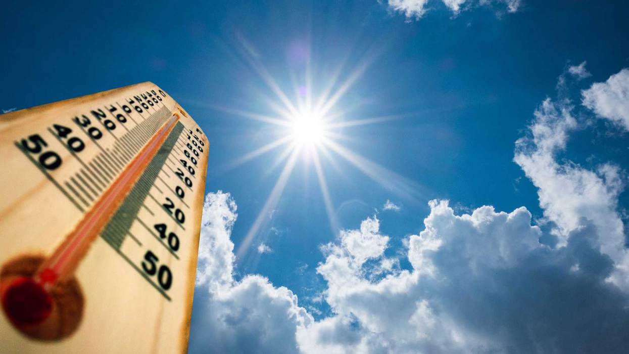
"Our weather looks monotonous," says Douglas. "Hot, sticky with temperatures at or just above 90 right through Friday, possibly Saturday. If it's any consolation and maybe it is small consolation, the smoke is pushing east of us and I think the air quality will be better."
Oh, and it's not even technically summer yet.
"Summer officially kicks off on Wednesday," says Douglas. "The summer solstice, as far as the atmosphere is concerned. Meteorological summer began back on June first, so we're getting a real summer. We're making up for all the sins that were committed, the atmospheric sins back in April."
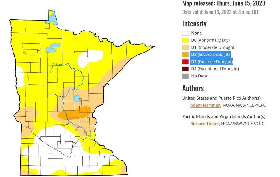 Last week's U.S. Drought Monitor shows a patch of severe drought across parts of central Minnesota, but also a deepening drought across the entire northern two-thirds of the state.(U.S. Drought Monitor / NOAA)
Drought
Until we get some showers and storms, it's going to feel more like July and it is also drying out despite the little bit of rain that fell this past weekend.
We are now seeing the first signs of serious drought in Minnesota.
Last week's U.S. Drought Monitor (image above) shows a patch of Severe Drought now in parts of Isanti, Kanabec, Mille Lacs, Benton, Sherburne, and Stearns Counties. And a lot of Minnesota is in Moderate Drought or at least Abrnormally Dry according to NOAA.
"We'll see if Mother Nature messes with us again," Douglas told Vineeta Sawkar on the WCCO Morning News. "Some spots got heavy rain over the weekend, but most of us did not. It was something of a disappointment. But there's another window for puddles Saturday night into Sunday as slightly cooler air approaches. But we are stuck in a hot dry pattern and we'll see how long it hangs on."
There are now some locations in central Minnesota that are nearly three or more inches below average since mid-May. This is where drought conditions are expanding.
Forecast
Monday: Hot sunshine and near 90.
Tuesday: More hot sun and 91, low 71.
Wednesday: Sweaty and 93, low 72.
Thursday: Still very warm. High 92, low 72.
Friday: A chance of a few storms but warm still. High 91, low 73.
Saturday: Chance of late day storms. High 90, low 72.
Sunday: Better chance of rain. High 85, low 71.