


Ready for a scorcher? Or two? Then you've come to the right place. Minnesota and the Midwest are about to get a heat punch bringing in the warmest days of the summer.
A heat advisory covering the Twin Cities and the southwest corner of Minnesota goes into effect Tuesday afternoon and evening - but even if you're not in the heat advisory area, it'll be really warm and humid.
WCCO-TV Chief Meteorologist Chris Shaffer tells the Morning News with Vineeta Sawkar that the next two days will be stuffy and uncomfortable.
"I think we're heading for a high around 89," says Shaffer. "You'll notice the wind coming from the south, 10 to 15, that's what's grabbing all that Gulf moist air and bringing it up our way. So, the combination of the upper 80s and the dew points in the mid 70s - which is very sultry air that's coming our way - it could feel like the upper 90s."
Dew points in the 70s is extremely tropical air which is what is going to cause it to feel so sticky and hot. Wednesday will be slightly warmer with temps likely reaching 90 says Shaffer. Parts of southwest Minnesota will easily feel like the triple digits.
"It will be humid again, so expect another heat advisory that includes the Twin Cities," he adds.
Hot and humid in the summer typically means a storm risk, and this heatwave is no exception.
"A few showers are possible tonight, tomorrow is our better chance, really across the state, for widespread rain and thunderstorms," Shaffer said.
It's a different story in northern Minnesota though. There has already been some storm activity Tuesday morning with a few thunderstorm warnings in the Iron Range area of the state as it tracks from west to east.
"That's where most of it stays today, I don't think we get clipped by that, so expect a mostly cloudy day," Shaffer says about Tuesday.
The best chance of storms in the Twin Cities comes after 7:00 p.m. on Tuesday, and then again through parts of Wednesday.
"It looks like the scattered showers and thunderstorms are kind of possible throughout the afternoon," Shaffer explains. "The heaviest rain likely coming in late afternoon and spilling into the evening hours. There could be some strong winds, there could be some sizable hail initially. I think there's a better chance of that farther west. We'll keep an eye on that. But a lot of rain, heavy rainfall."
It'll definitely stay summer-like the rest of the week but the humidity will ease just a little once we get to Thursday Shaffer says.
"It clears out on Thursday, we'll get the Sunshine back by afternoon with a high of 85," he says. "Still humid, but less humid. And your weekend looks dry at this point. Mostly sunny Friday, upper 80s. We should hang in the upper 80s to around 90, Saturday and Sunday as well, and it will be humid."
HEAT ADVISORY IN EFFECT FROM 1 PM TO 8 PM
* WHAT...Heat index values in the upper 90s to low 100s expected.
* WHERE...Portions of central, east central, south central, southwest, and west central Minnesota.
* WHEN...From 1 PM Tuesday afternoon to 8 PM CDT Tuesday evening.
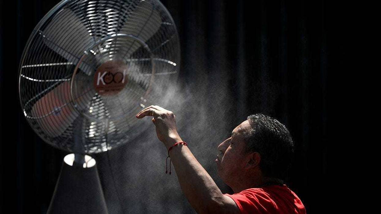
* IMPACTS...Hot temperatures and high humidity may cause heat illnesses.
Drink plenty of fluids, stay in an air-conditioned room, stay out of the sun, and check up on relatives and neighbors.
Plenty of heat across the Midwest
Minnesota and the Twin Cities are not alone as a "heat dome" is spreading across the Midweat.
It will feel like 110 degrees in places from Kansas City northeast to Milwaukee and south to the upper Gulf Coast.
Skylar Moss manages landscape crews in Memphis, Tennessee. Extreme heat may prompt her to change schedules.
"I try to encourage my guys to take as many breaks as they feel that they need, you know, and if it's just like absurd and ridiculous, then we can move things around," Moss told CBS News.
Midweek temperatures across the middle of the country will be 10 to 15 degrees above normal for this time of year.
CBS Meteoroligist David Parkinson says a large swath of the country will be sweating this week.
"We've got this heat that is locked in place," says Parkinson. "Essentially the jet stream has gone way to the north. It has allowed moisture from the Gulf to come in, which is bringing the humidity and it's also allowing hot air to come up from the south as well. Those two together, the heat and humidity gives you the dangerous heat index we will see today and really through the end of the week."


