It's no shock when we head below zero during a Minnesota winter. But the first blast of that showing up before Christmas? When it's still technically fall? Not unheard of, but definitely more unusual.
It's already been a very snowy start to December, the most snow seen in the Twin Cities at this point of the year since 1991. Now a brutally cold snap of weather heads in starting Friday night.
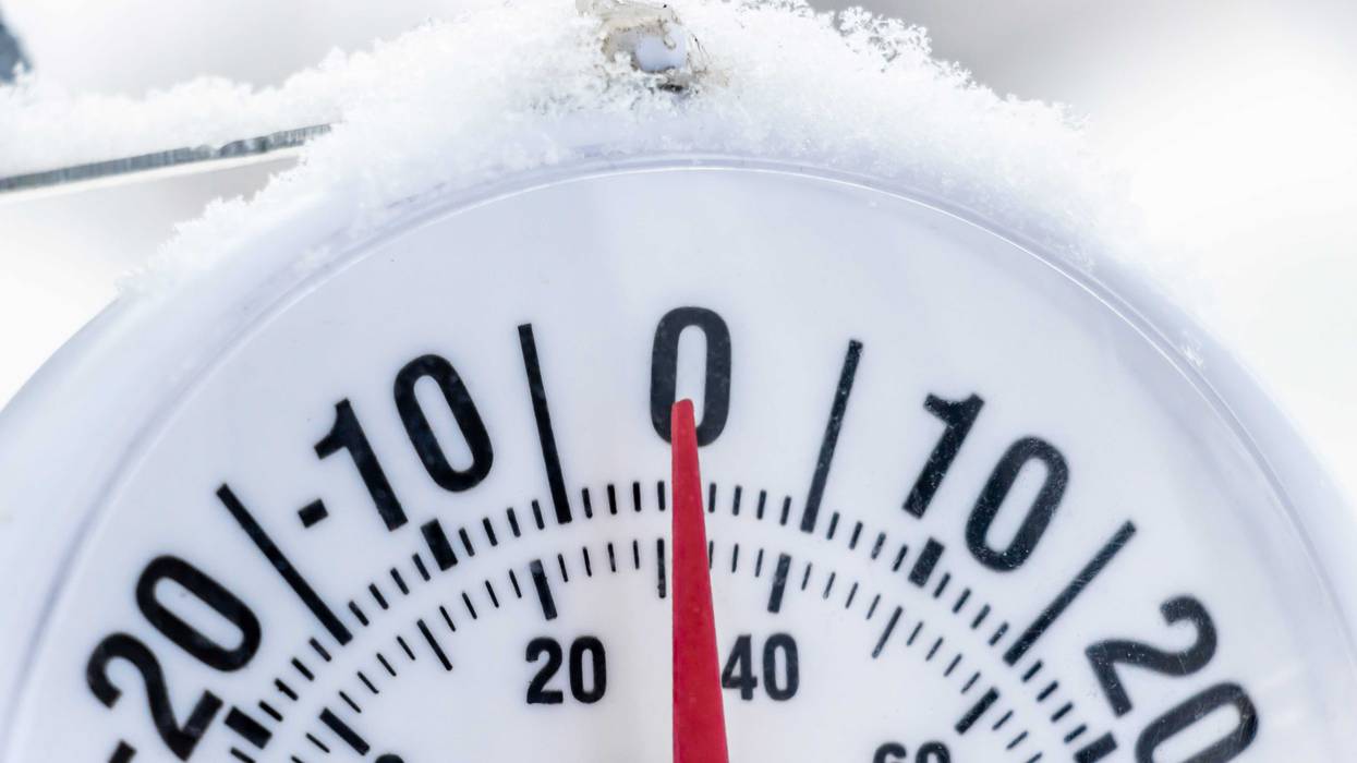
The National Weather Service has issued a Cold Weather Advisory which includes nearly all of Minnesota and Wisconsin. WCCO-TV Chief Meteorologist Chris Shaffer says the coldest air of the season is on the way.
"A couple of things you're gonna notice today, maybe a few peaks of sunshine later, that'll be nice," Shaffer says. "Temperatures falling throughout the afternoon. That won't be nice and the wind will be picking up from the northwest 10 to 15 MPH. So some of the areas where that snow does fall, that's gonna be blowing that around a little bit. And then tonight we fall all the way down to 7 below."
That is the coldest low so far of this season, and if there's good news, the wind lightens up some Friday night.
"But when it gets cold like that, it doesn't take much wind to make it feel dangerously cold," Shaffer notes. "So it could feel like 25 below if you have plans early tomorrow morning. Tomorrow is gonna look nice, partly cloudy, we'll have some sunshine. It's not gonna feel very nice out there."
That's because Saturday's high climbs all the way to zero. Any hint of wind, and it'll feel more like 15 to 25 below throughout the day.
"And then we'll, best our new lowest temperature Sunday morning," Shaffer continues. "We fall to 13 below and it will feel like 25 below again, before we warm up later in the day on Sunday. Partly cloudy with a high of 3."
As usual, those temps and wind chills get even colder the farther you venture north. Across the northern part of Minnesota, wind chills will easily drop to 30 and even 40 below at times this weekend near Fargo, Fergus Falls, and up into Grand Rapids, Roseau, International Falls.
Along the North Shore of Lake Superior, the wind will cause gale warnings and 30 below wind chills.
Those kinds of wind chills mean you need to take precautions, make sure you cover extremities, and if you're driving, make sure you have that kit in the car in case of emergencies, a fully charged cell phone, and watch for slick spots.
"You could get frostbite in about 10 to 15 minutes on exposed skin," Shaffer adds.
There's good news in here though. Next week temps warm to possibly the mid-30s by Tuesday and Wednesday.
"So it's a short cold snap, and I've been trying to point out the positivity this week because people really dump the negativity on me when it gets like this," joked Shaffer when talking to Vineeta Sawkar on the WCCO Morning News. "First of all, we're not gonna have school delays or closings. This cold snap is literally weekend specific. And for all the ice fishing folks out there, for the people that want to go play some hockey on the neighborhood pond, this is ideal. We're gonna be making some serious ice thickness over the next several days, so it'll make it much safer, and great to get out there and do some of those winter activities."
FORECAST
FRIDAY: Mostly cloudy. High: 18. NW 10-15 mph.
FRIDAY NIGHT: Mostly cloudy. Low: -7. NW wind 5-10 mph.
SATURDAY: Partly cloudy. High: 0. NW wind 8-10 mph.
SUNDAY: Starts at -13 and warms to 3.
TAKEWAWAY: It could feel like -25 both weekend mornings.
COLD WEATHER ADVISORY REMAINS IN EFFECT FROM MIDNIGHT-10 AM SUNDAY
* WHAT...Very cold wind chills as low as 34 below expected.
* WHERE...Portions of central, east central, and west central Minnesota.
* WHEN...From midnight tonight to 10 AM Sunday.
* IMPACTS...The cold wind chills as low as 35 below zero could cause frostbite on exposed skin in as little as 10 minutes.