
One more blast of heat. One last hurrah. Summer’s last gasp.
According to WCCO Chief Meteorologist Paul Douglas, Minnesota’s cooler and rainier weather will give way to some of our hottest weather of the year by the weekend.
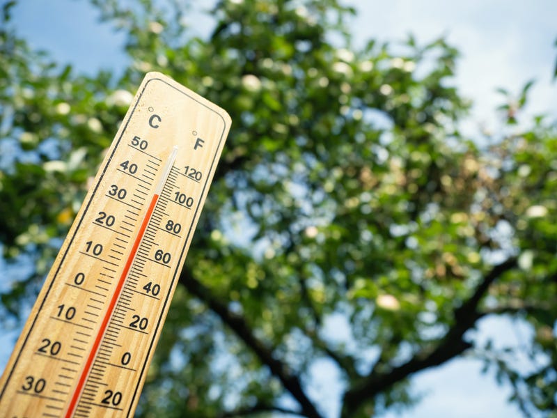
“It’s going to be like flipping on a light switch,” says Douglas on the WCCO Morning News with Vineeta Sawkar. “Friday, upper 80s, and I think Saturday through Tuesday, mid-90s in the metro as a rule. To the south and west of the Twin Cities, could hit 100. And you factor in a dew point of 70, and it could feel like 105, 110 early next week. It’s going to be stinking hot.”
That is reaching the point of dangerous, something Douglas says the rest of the country has been dealing with all summer.
“It has been a crazy summer for heat across the southern U.S. and now it’s the Pacific Northwest that’s baking,” Douglas explained. “I saw 108 in Portland, Oregon yesterday. Most folks don’t have air conditioning in the Pacific Northwest and they are baking. That heat is shifting eastward.”
Right now, the Twin Cities' forecast highs for Saturday is 94, Sunday 97 and Monday 96 according to the National Weather Service.
Before we get to the heat, we have a shot of severe weather and more rain Wednesday.
“We are in a slight chance of severe weather Wednesday evening, Wednesday night,” says Douglas. “Some of the storms could pack hail and gusty winds. Then a comfortable Thursday behind that clipper, a nice cool breeze, upper-70s.”
Of course we’re just over a week from the Minnesota State Fair. Will the heat stick around?
“I think it does cool off a little bit in time for the Minnesota State Fair, so I’m optimistic that all of this will be over before we all head over to Falcon Heights,” Douglas predicts.
If you're a summer heat fan, then this is good news. The heat isn’t done with us yet in Minnesota.