We've had brown Christmases before but 2023 is shaping up to be a brown Christmas, New Year's and then some according to WCCO Chief Meteorologist Paul Douglas.
A little snow on Friday and Saturday created some slick roads. There wasn't much snow across Minnesota, maybe a half an inch, but Douglas said most of the snow melted on contact, but cold temperatures turned some roads into skating rinks.
"It was a little misleading. It was a coating for most spots, but underneath all that it was glare ice," says Douglas.
As for this week, it's going to be quiet even if we start off a little chilly (relatively). The tiny bit of snow you see on your still-green grass isn't going to be there long.
"I still think the sun will try to come out this afternoon, low 30s today," Douglas says. "The sun out tomorrow, the coolest day, upper 20s to near 30, and then well into the 30s on Wednesday. And then, back into the 40s starting Thursday right through the weekend."
There's a small chance of precipitation coming in on Friday which would mainly be rain if it even happens says Douglas.
Warm Weather Sticking Around?
Douglas says the longer range European models he has seen show those 40s sticking around.
"It has daytime highs at, or above 40, from Thursday pretty much right through Christmas week," says Douglas. "Right through New Year's, daytime highs running anywhere from 10 to 20 degrees above average. Again, the persistence of this pattern is amazing."
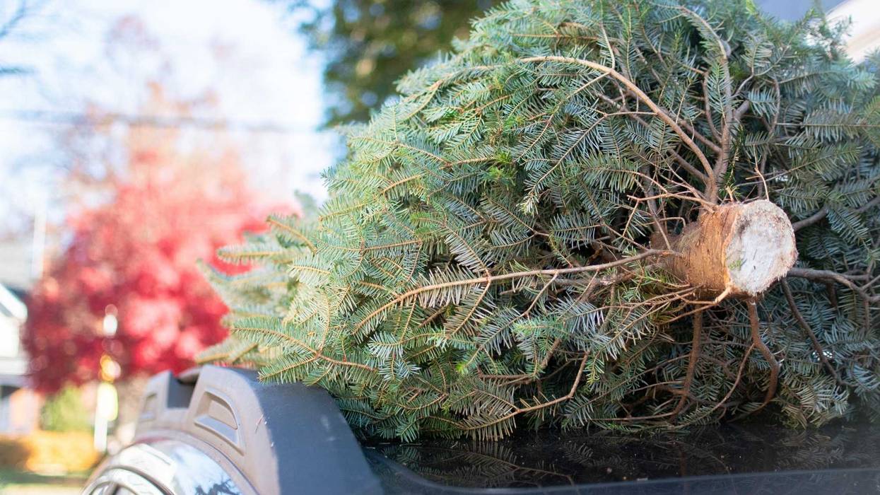
That all means a brown Christmas is extremely likely. It's just too warm for snow and anything that falls won't stick.
It's not like Minnesotans haven't seen a brown Christmas. The Minnesota Department of Natural Resources says only 71 percent of the time since records were kept in the Twin Cities. There have been 36 years out of 125 with either a "zero" or a "trace" of snow.
If your memory is short, we had a brown Christmas in 2021. Also in 2018 and 2015. That means half of the last eight by the way, another signal we're into a new normal.
If you're desperate for some snow for your Christmas, there are places in Minnesota where it's a 100% guarantee. Most of those are north towards the Arrowhead and Iron Range. You can see the probabilities here across Minnesota.
But this year even that is a bit off. There's some snow cover in the northwestern part of Minnesota near the North Dakota border. The Arrowhead Region has seen almost nothing. There is a chance for some flurries up there this week however.
 Current snow cover map for North America shows some over Minnesota, but if you look out onto your lawn you'll know there isn't much there. What is, won't be for long.(Graphic: U.S. National Ice Center / NOAA)
Two Factors For Lack of Winter
That pattern Douglas mentions is being pushed by two things: Climate change and El Nino.
"Some of this is background warming, we just had the warmest year worldwide on record and some of that warmth is lingering," Douglas explained. "But I think El Nino is the driver, the main driver. It reminds me of 1998, which was another mild, snow-free winter across Minnesota."
This isn't just El Nino, this is Super El Nino. There is unusually mild Pacific Ocean water, which usually deflects storms south of Minnesota during the winter months says Douglas.
"But this is unlike any other El Nino pattern, because nearly every ocean basin on the planet is (much) warmer than average," Douglas explains. "Arctic air has been bottled up over northern Canada. The lower 48 states are overwhelmed by moderate, Pacific air, a pattern that may spill over into early January."
Douglas says the winter weather balloon will eventually pop. It will snow. It will get cold. But for now, it's as quiet as it gets in Minnesota this time of year. Winter is on hold. Welcome to Wichita.