Some of the first wintry weather of the season is on the way for much of the U.S. in the coming days, including potentially record low temperatures for parts of the South and snow in the Northern Plains.
The Dakotas and parts of southern Minnesota have the highest potential for snowfall late Friday through Saturday morning, including some areas that could see as much as 2 to 3 inches of snow.
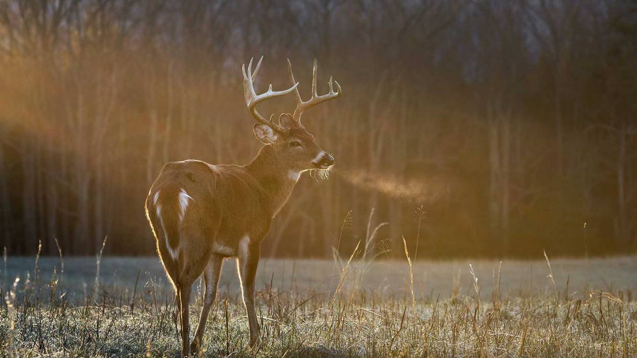
Not much of that snow is going to impact the Twins Cities, and what does fall isn't going to stick thanks to ground temperatures that are still well above freezing. But temps are going to be lower than we've seen all fall, and you will definitely feel a chill in the deer stand if you are out for the opener early Saturday.
"It's gonna be chilly this weekend," says WCCO Chief Meteorologist Chris Shaffer. "I know we've been talking about the little snow chances that have pushed farther and farther south as the storm system will kind of wing us to the southwest. But, the big headline is going to be the cool down."
Expect the coldest weather in Minnesota since last March, with highs this weekend only in the 30s. That makes it cold enough for snow - and you probably need to get that furnace cranked up if you haven't already.
"The snow tomorrow will be again be down in southwestern Minnesota, south-central," Shaffer explains. "It will not affect any driving. Our road surfaces are so warm and this looks so light, so it's just more of an eye candy talking point than anything."
Cold Temps Spread South Too
Temperatures from the 60s to the 80s on Friday across much of the central U.S. are expected to plummet as a front spreads from the Northern Plains to the South through the weekend. Highs will likely stay in the 30s in parts of Nebraska, Iowa and northern Missouri by Sunday, and the chilly temperatures are expected to spread into Oklahoma and northwestern Arkansas, Cook said.
"It’s a little bit unusual to have this strong of a cold push this early in the season,” Cook said.
On Monday, temperatures in the 30s and 40s are forecast to move from the Ohio Valley to the southern U.S., where the cold air could produce record lows on Tuesday of 24 in Knoxville, Tennessee; 26 in Birmingham, Alabama; 32 in Baton Rouge, Louisiana; and 40 near Orlando, Florida, Cook said.
Warmer temperatures should spread through the South beginning Wednesday.
At the Roosevelt Park Zoo in Minot, North Dakota, where up to 3 inches (8 centimeters) of snow is forecast Friday night, the staff has begun typical preparations for the cold, General Curator Chelsea Mihalick said. African animals, including a giraffe calf born Sunday, are already inside heated buildings, and maintenance workers make sure heaters are working properly.
“We've gotten pretty lucky as far as we haven't gotten anything yet, or the cold weather just now has come,” Mihalick said.
Some animals, such as tigers, love the snow. Cubs were born at the zoo in May.
“This will be their first snowfall, so it will be fun to see them running around in the snow,” Mihalick said.
The expected cold spell won't last, though, as warmer temperatures are forecast for much of the central U.S. starting Wednesday and Thursday, Cook said.
“This is a brief cold snap. It won't stay around very long,” he said.


