


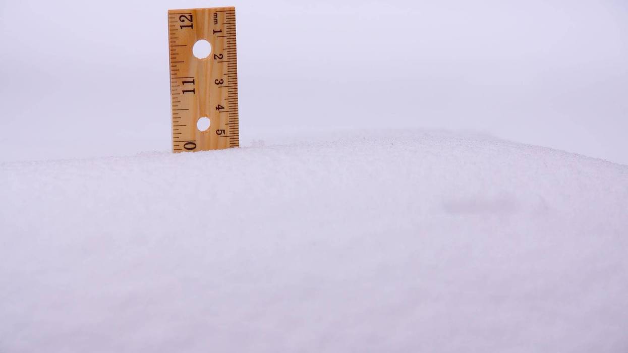
SCRANTON, PA — The winter storm that gripped the Commonwealth over the weekend has finally moved out, leaving behind a thick blanket of snow. According to the latest reports from the National Weather Service in Binghamton, snowfall totals across Lackawanna, Luzerne, and surrounding counties ranged from 9 inches to as high as 20 inches in certain pockets, fueled by heavy localized banding and high-elevation terrain.
In Luzerne County, some of the highest accumulations in the state were recorded. Drums and Saylorsburg both reported a staggering 16 inches of snow, while Kingston reached 15 inches. Other notable totals included Shavertown at 14 inches, Ashley at 13.3 inches, and Nanticoke at 12 inches. The valley floor saw slightly less but still significant amounts, with Wilkes-Barre reporting 7 inches earlier in the storm before totals climbed.
Lackawanna County also saw heavy accumulation, particularly in the northern and eastern sections. Carbondale officially recorded 12 inches, while Jessup saw 11.2 inches. The city of Scranton and nearby Old Forge both recorded 10.5 inches and 10 inches, respectively. Higher terrain in the "Abingtons" saw Clarks Green hit the 10-inch mark, while Moosic and Dalton reported slightly lower totals of 8.9 and 7.8 inches.
Pike and Wayne counties saw even more dramatic results as the storm intensified toward the east. Rowland in Pike County reported a massive 20 inches, the highest in the immediate region. Honesdale followed with 17 inches, while Lords Valley and Dingmans Ferry both reached 16.5 and 16 inches. To the north, Susquehanna and Montrose reported a consistent 12 to 10.3 inches, while Factoryville in Wyoming County saw 16.2 inches.
The storm, unofficially named "Winter Storm Fern," was a true multi-day event that began Saturday and didn't fully exit the region until Monday morning. While the snow has stopped, the danger remains; the National Weather Service warns that an extreme cold advisory is currently in effect, with wind chills expected to drop to 15 below zero. This bitter cold will keep roads treacherous and may cause the "dry" snow to drift, potentially re-covering previously cleared surfaces through Tuesday morning.