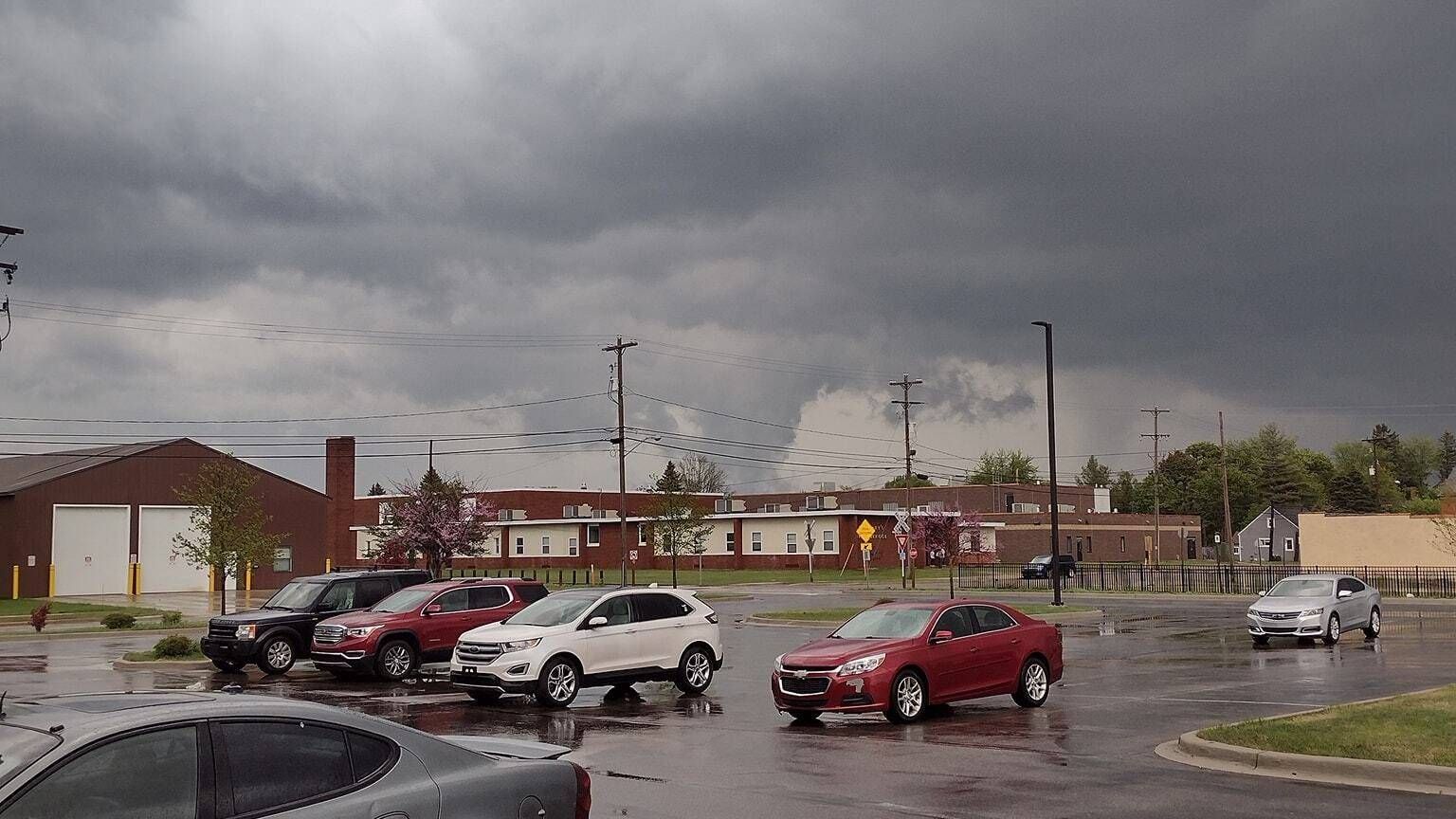
(WWJ) - If you went outside to water your plants, get an early start on mowing the yard or enjoy your morning coffee in northern Metro Detroit, chances are the sky looked more like twilight than daylight as a strong band of thunderstorms developed Saturday morning.
The National Weather Service issued a Special Weather Statement -- a weather bulletin -- for Oakland and Macomb Counties, including some areas in the southern sections of St. Clair. Lapeer and Sanilac County, as meteorologists observed an expanding line of thunderstorms sweeping into the area.
A Special Weather Advisory is issued by the NWS to keep residents alert about weather situations that are significant, but not life-threatening.
"Thunderstorms... will impact areas generally south of I-69 over the next few hours," the NWS said. "Severe weather is not likely, but some isolated gusts to 40 mph will be possible mainly south of I-94."
The thunderstorm will affect Oakland and Macomb Counties through 10:45 a.m., meterologists said.

The storm was first observed around 9:45 a.m. near Milford and started tracking east at 55 mph. Meterologists warned the storm is capable of producing wind gusts of 30 to 40 mph and pea size hail.
"Gusty winds could knock down tree limbs and blow around unsecured objects. Minor damage to outdoor objects is possible," the NWS said.
Weather experts said the storm -- which has already hit West Bloomfield, Southfield, Farmington Hills, Rochester, Troy, Pontiac and Birmingham -- will close in on Sterling Heights and Clinton around 10:15 a.m. St. Clair Shores, Mount Clemens and Macomb Township will see the storm roll in about 10:20 a.m. and New Baltimore around 10:30 a.m.
Other locations that could see impacts from the storm include Franklin, Keego Harbor, Waterford, Shelby Township, Holly State Recreation Area, Commerce, Ray Center, Utica, Auburn Hills and Lake Angelus.
The NWS said there is the potential for multiple rounds of showers and thunderstorms on Saturday, with potentially severe weather to hit south of Detroit between 2 p.m. and 6 p.m.
Meterologists said the storms are moving east across the area and are forecasted travel around 45 mph.
Saturday's marginal risk for severe weather comes after storms hit the northern sections of Michigan on Friday, spawning off a "large" and destructive tornado in Gaylord.
As of 10:30 a.m. Saturday, the storm has killed two people and injured 44.
Gov. Gretchen Whitmer declared a State of Emergency Friday evening for the city as rescue crews, first responders and lineman work to remove downed powerlines, assist those that need help and restore services, such as power and cellular connection, to the area.
"We have multiple road closures, lines down, trees, devastating destruction," MSP Lt. Derrick Carroll said to WWJ's Erin Vee Friday night. "The mobile home park saw extensive damage, several business along the main business route were destroyed with roofs torn off and vehicles in the parking lot were flipped upside down."
"It's not safe to be out and about," Carroll said.
This is a developing story. Stay tuned to WWJ LIVE for the latest updates.