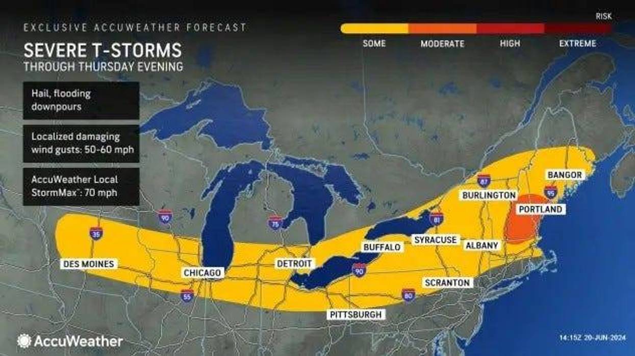
SOUTHELD (WWJ) -- The National Weather Service says more severe weather is threatening to strike Southeast Michigan, with scattered thunderstorms possible at any time Thursday through Saturday.
Beginning with Thursday, the greatest risk for the strongest storms is in the afternoon and evening hours, with damaging wind gusts up to 60 mph possible in the Metro Detroit area.
Along with damaging winds, the NWS said large hail, frequent lightening, torrential rainfall and localized flooding are all a concern with this round of storms.
A Flash Flood Warning is in effect for a portion of Wayne, Oakland, and Macomb counties until 8:30 p.m. Thursday. The NWS said locations that may experience flash flooding include Warren, Livonia, Troy, Southfield, St. Clair Shores, Detroit, Sterling Heights, Dearborn, Royal Oak, Birmingham, Clinton, Detroit Zoo, Rochester Hills, Roseville, Eastpointe, Madison Heights, Oak Park, Hamtramck, Ferndale and Hazel Park.
(A Severe Thunderstorm Warning for northeastern Wayne County, southeastern Oakland County, and southern Macomb County expired at 4:15 p.m. A Severe Thunderstorm Warning in effect in Wayne County including Livonia, Dearborn, Detroit and Lincoln Park expired at 5 p.m. )
Forecasters say the greatest risk for severe storms Thursday is in areas south of I-69.
Meanwhile. there's still a Heat Advisory in effect for all of Metro Detroit, through 10 p.m. on Thursday; although WWJ AccuWeather Meteorologist Joe Lundberg said he won't be surprised if it's extended.
This comes after Wednesday night's severe storms brought down tress and power lines in parts of Oakland and Macomb Counties. As residents are cleaning up, DTE Energy said it's working to restore power to thousands of homes and businesses. [CHECK THE DTE OUTAGE MAP]
 AccuWeather
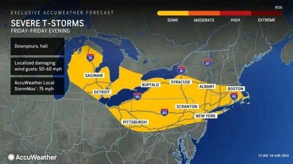
Looking ahead, Lundberg said Friday will be stay hot and humid, with a high of 90 degrees and more spotty rain expected.
"Could be a thunderstorm in the afternoon; not quite as volatile overall," he said. "But, again, if you get any thunderstorm tomorrow afternoon, it's probably going to have some gusty winds."
Saturday will bring the heat once again, with a high of 94m, and another chance for thunderstorms Saturday night. "That's with a cold front coming through," Lundberg said, "and behind that front maybe a shower or thunderstorm Sunday ... but it looks like a good bit of the day ends of rain-free, with some sun and less heat and humidity."
The forecaster high for Sunday is 84 degrees.
Stay with WWJ for the latest, with weather updates along with traffic, every 10 minutes on the 8s. Listen live anytime right here, or on the FREE Audacy app.