


(WWJ) It'll be a bit of a winter preview, with colder temperatures and some snow in the forecast to close out the first week of November in Metro Detroit.
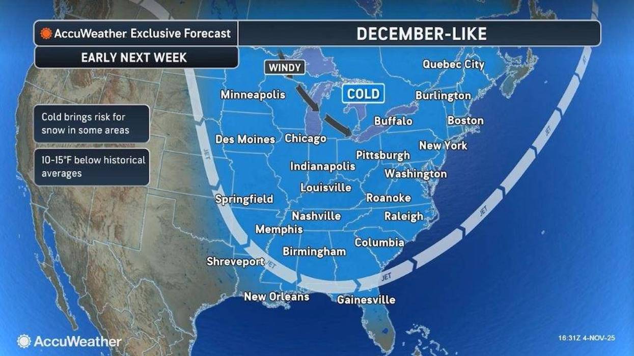
AccuWeather says a blast of cold Canadian air is poised to swoop down and make it feel "December-like" in Lower Michigan on Saturday and Sunday — and bringing the state's first significant snow of the season.
"It's a little bit of a rollercoaster ride temperature-wise," said AccuWeather Meteorologist John Feerick, speaking live on WWJ Newsradio 950 on Wednesday. "We're gonna see some opportunities for rain, and maybe even a few wet snowflakes as we head toward the weekend."
Where will we see the snow?
While we're not expecting much, if any, accumulation in Metro Detroit, forecasters are calling for several hours of snowfall Up North in Marquette, from Saturday evening into Monday.
Forecasters say parts of the Upper Peninsula could see up to 6 inches of snow accumulation by Monday, while parts of the Lower Peninsula could see up to 3.
As for Metro Detroit, Feerick said the WWJ listening area can expect a lot of cold rain, with some snow in the mix.
What to expect in Metro Detroit
Thursday, AccuWeather is calling for sunshine mixed with clouds and a high in the 50s, before temps drown into the low 40s with a rain shower possible Thursday night into early Friday.
Metro Detroit will dry out for a bit on Friday, with some sunshine in the forecast and a high up to 58 degrees, before a big chill sets in for the weekend.
Feerick said it'll be cloudy and cool on Saturday, with highs in the 40s, before the rain moves in Saturday night.
That's when the rain could mix with some wet snow showers overnight Saturday, continuing into Sunday. The high on Sunday will be around 38 degrees, Feerick said.
Stay with WWJ Newsradio 950 for weather updates, every 10 minutes on the 8s. Tell your smart speaker to "play WWJ nine-fifty" or download the FREE Audacy app to stream WWJ anytime. >>LISTEN LIVE


